|
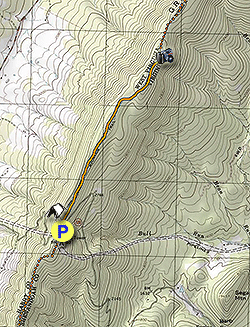
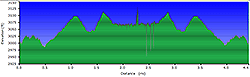
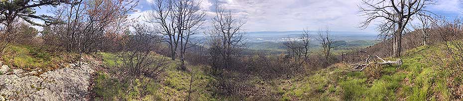
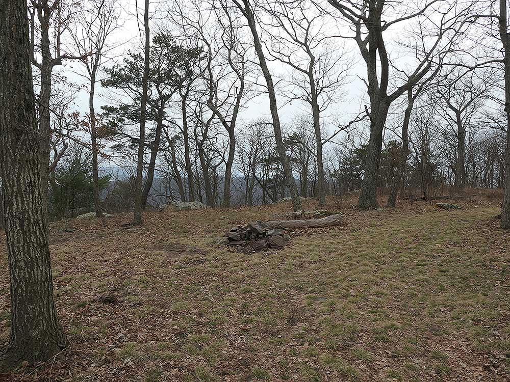
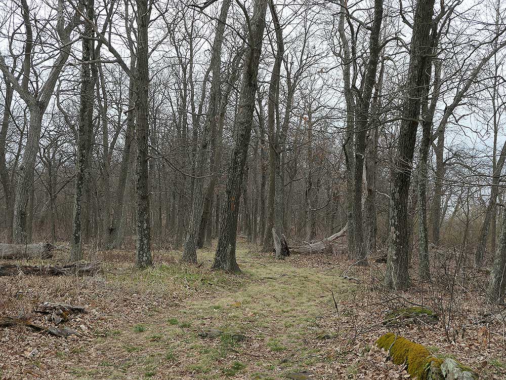
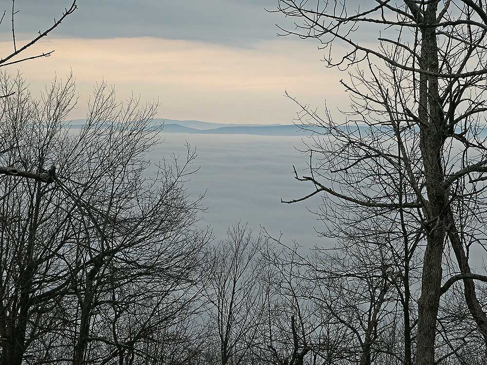
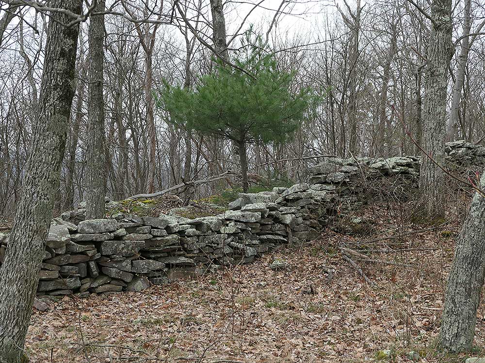
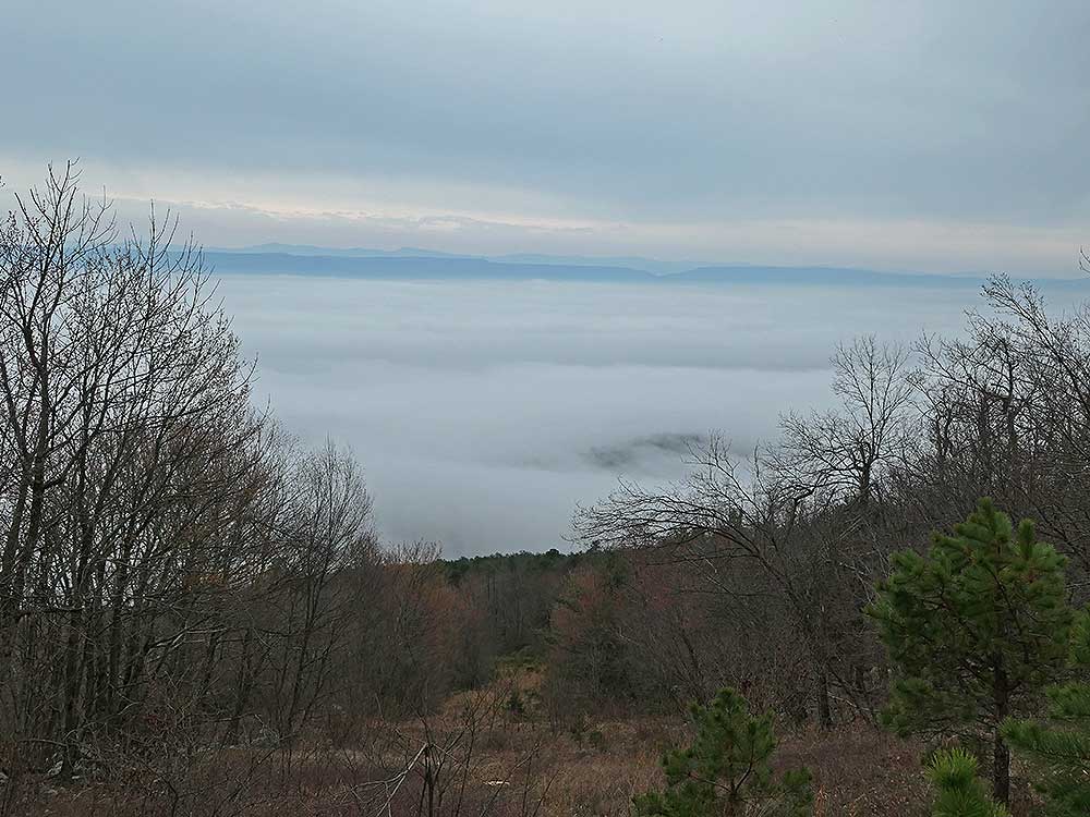
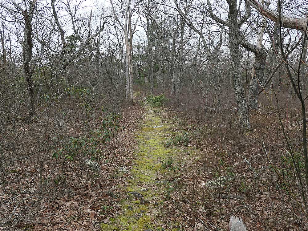
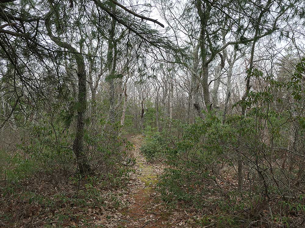
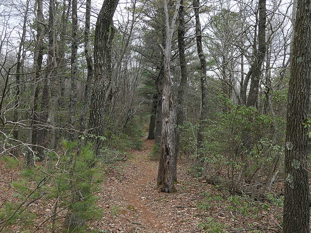
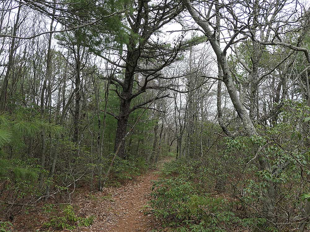
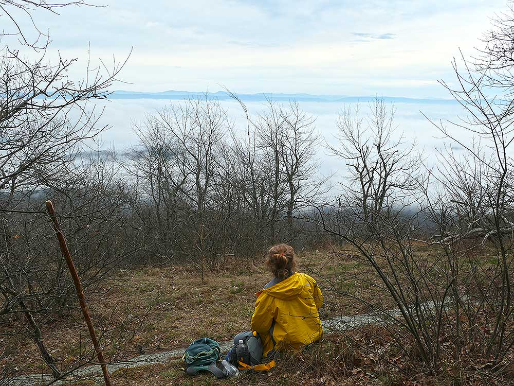
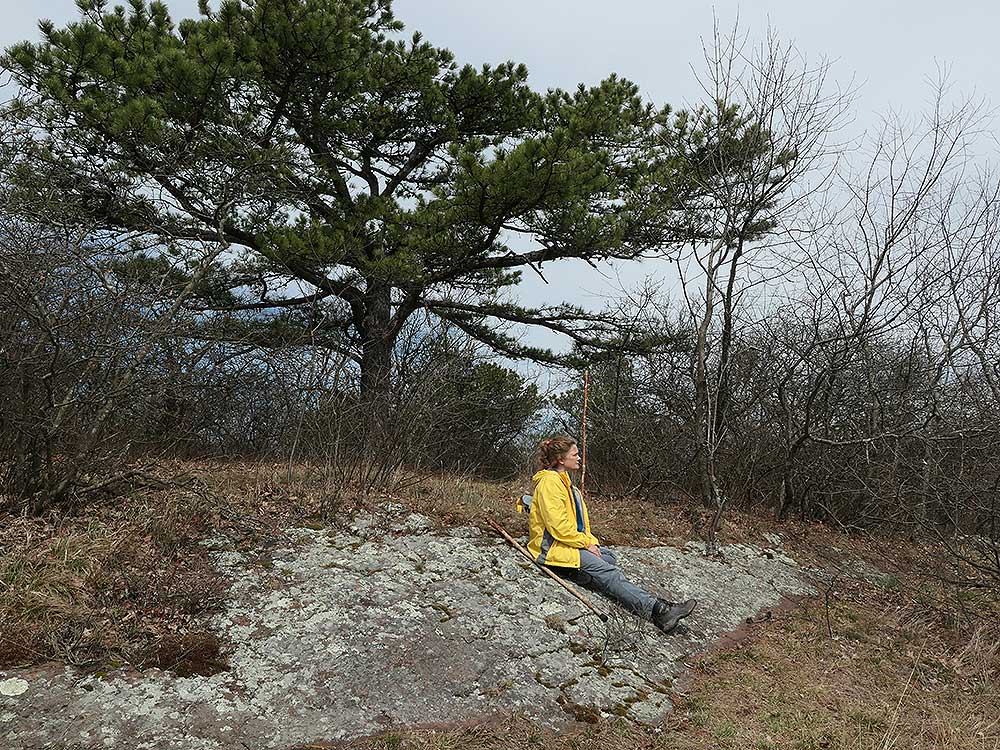
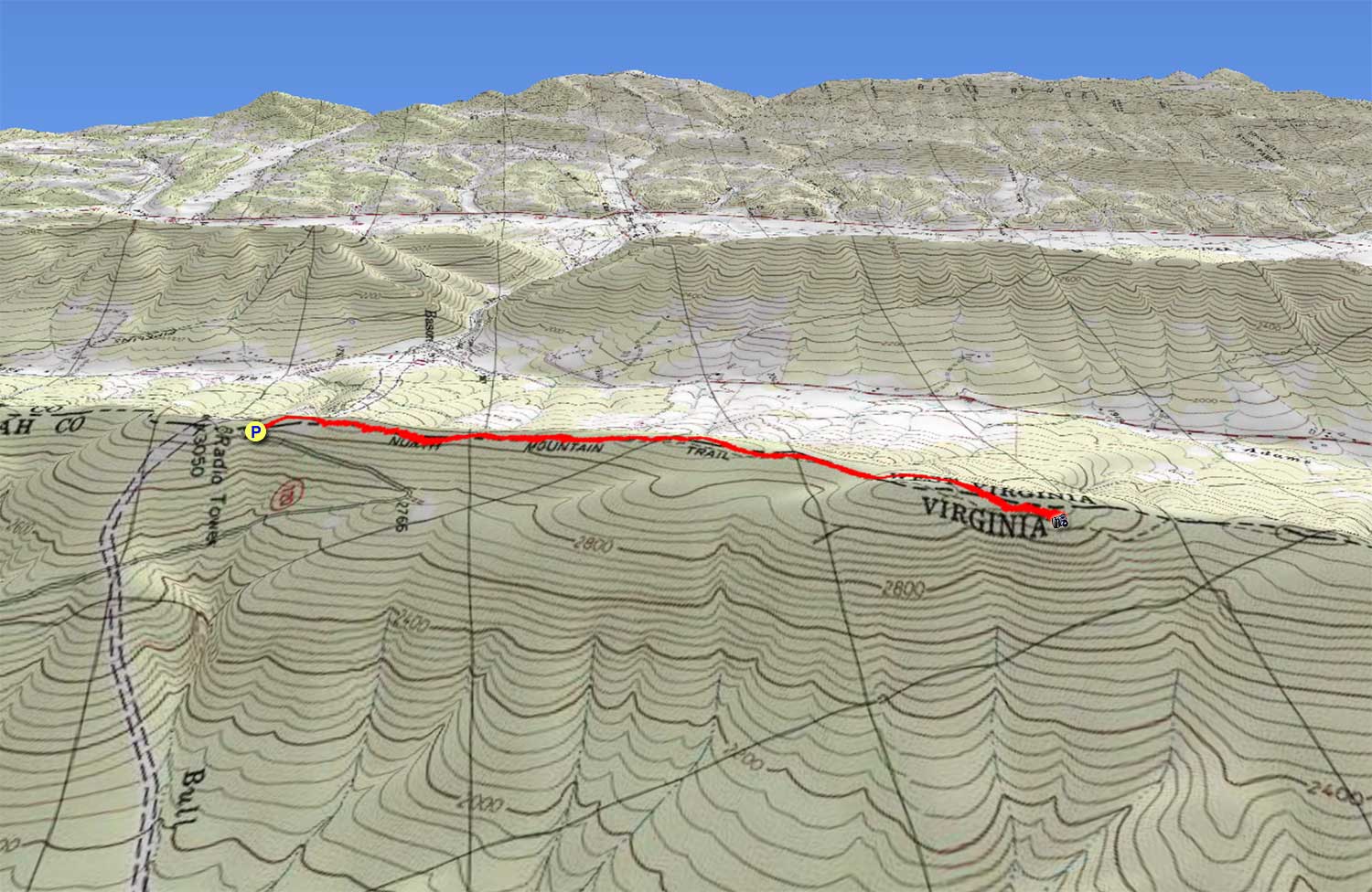
 Nutmeg Point is a short hike to a nice overlook along the North Mountain Trail. If you're looking for seclusion, this is one of the best. One of the least used areas in the Great North Mountain trail system, this easier hike starts on the ridge and heads north for two miles to Nutmeg Point. Pass old stone walls used to contain livestock and through stands of pine. The Nutmeg Point overlook is partially obscured when the leaves are out but it's worth it, as there is an excellent chance you will have the view to yourself. Nutmeg Point is a short hike to a nice overlook along the North Mountain Trail. If you're looking for seclusion, this is one of the best. One of the least used areas in the Great North Mountain trail system, this easier hike starts on the ridge and heads north for two miles to Nutmeg Point. Pass old stone walls used to contain livestock and through stands of pine. The Nutmeg Point overlook is partially obscured when the leaves are out but it's worth it, as there is an excellent chance you will have the view to yourself.
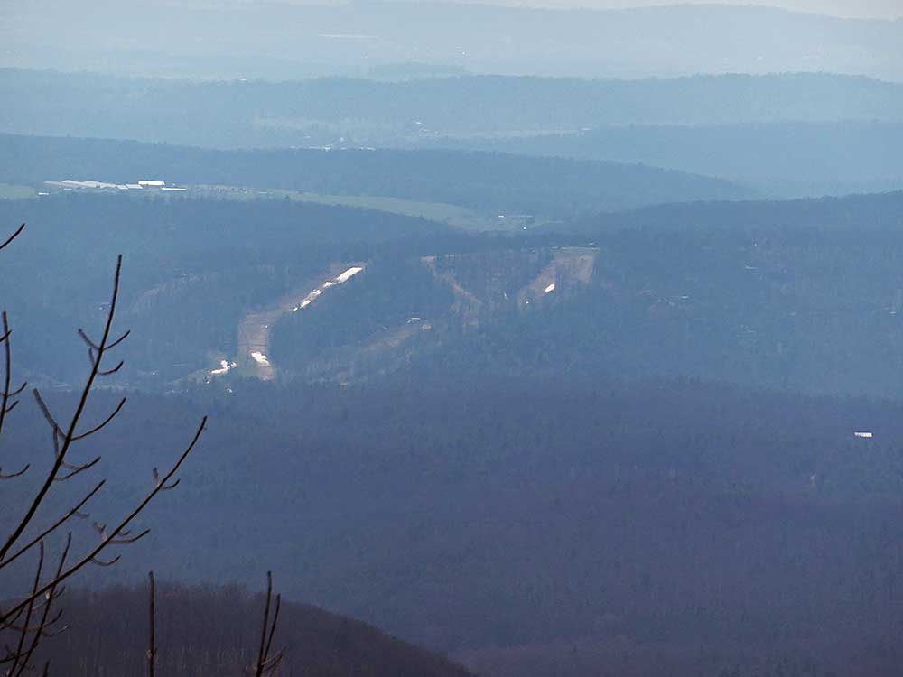
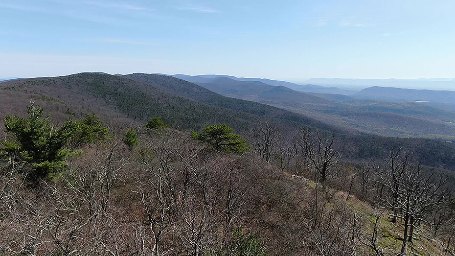
For a bonus view, after returning to the parking area, cross VA 720 then pass behind the transmission tower to the top of the gas line clear cut.
|

