
|
| Length |
Difficulty |
Streams |
Views |
Solitude |
Camping |
| 11.7 mls |
 |
|
 |
 |
|
Hiking
Time:
Elev. Gain:
Resources: |
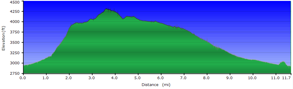
7.0 hours with breaks
1,700 ft
 Topo Hike Trails Map (PDF) Topo Hike Trails Map (PDF)
Edray WV Weather Forecast
Garmin (GDB), Gaia/Trails App (GPX) (What's
this?)
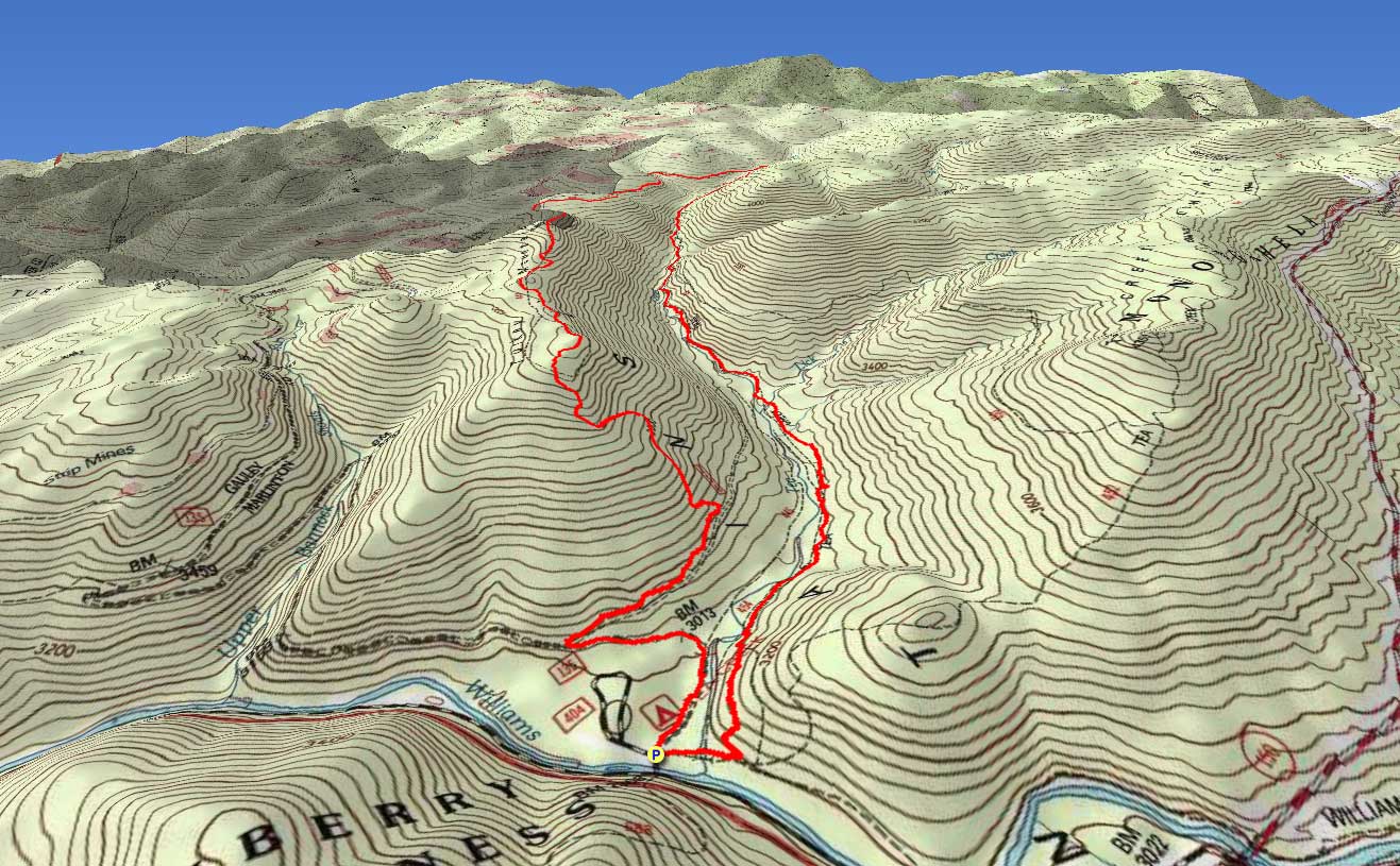
3D View of Route |
 By Trail Contributor: Jeff Monroe (Email Jeff) By Trail Contributor: Jeff Monroe (Email Jeff)
The Tea Creek area of the Monongahela National Forest is home to a network of interconnected trails offering a challenge to any level hiker. Like its neighbor just to the south - the more famous Cranberry Wilderness - the Tea Creek trail system presents a physical and mental challenge to complete that far exceeds trail lengths and elevation gains, thanks to rugged terrain and wet conditions. Unlike Cranberry Wilderness, trails are well marked and are being reconstructed after multiple floods, due to the efforts of private mountain biking groups. This loop hike begins and ends at the wonderful Tea Creek Campground that is maintained by the USFS, and this hike gives a taste of what this area has to offer.
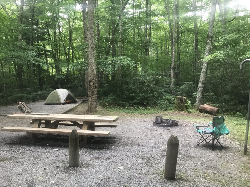
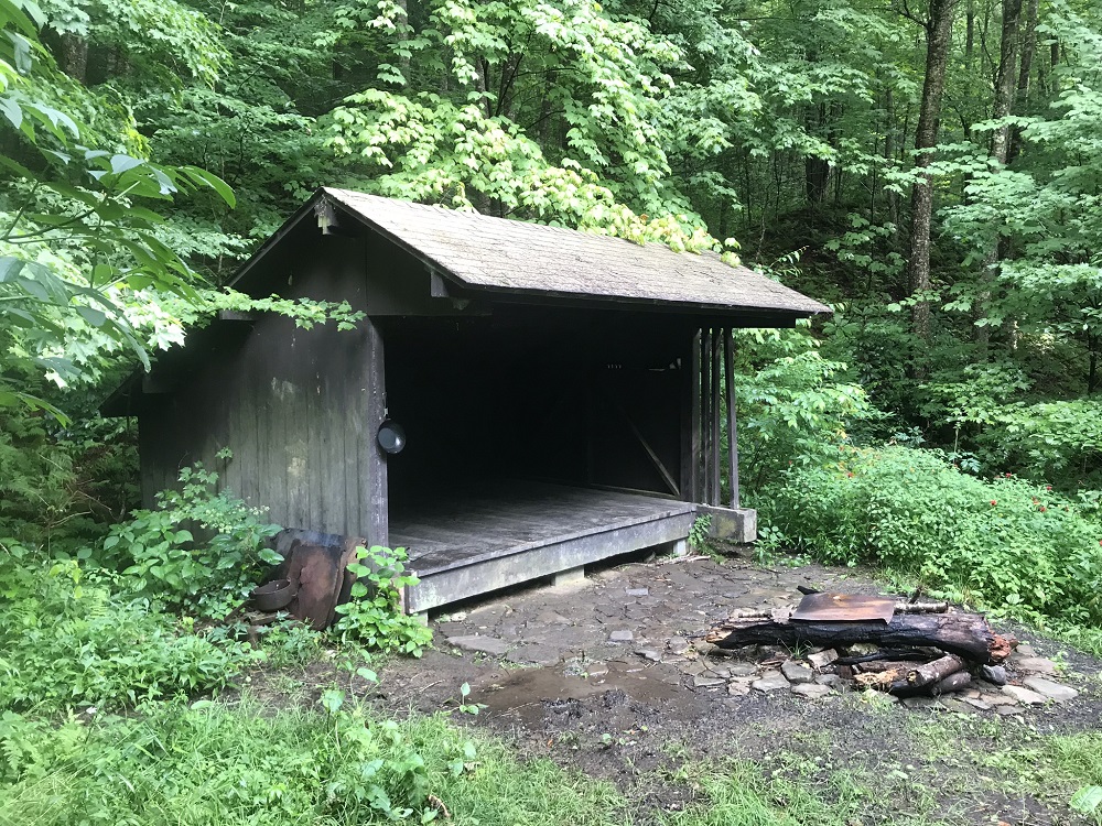
There are few campsites along this loop. Most people camp at the National Forest campground at the beginning of this hike, however there is an Adirondack style shelter on this loop and two others on nearby trails. Unfortunately, if you arrive to find that shelter full (and there were 4 people there on a Friday evening in July when we hiked here), you would be out of luck. Rocks and slopes prevent much camping on this loop.
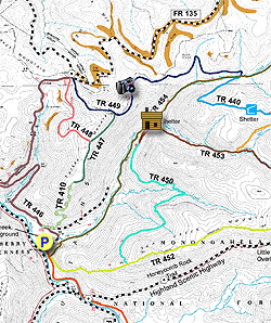
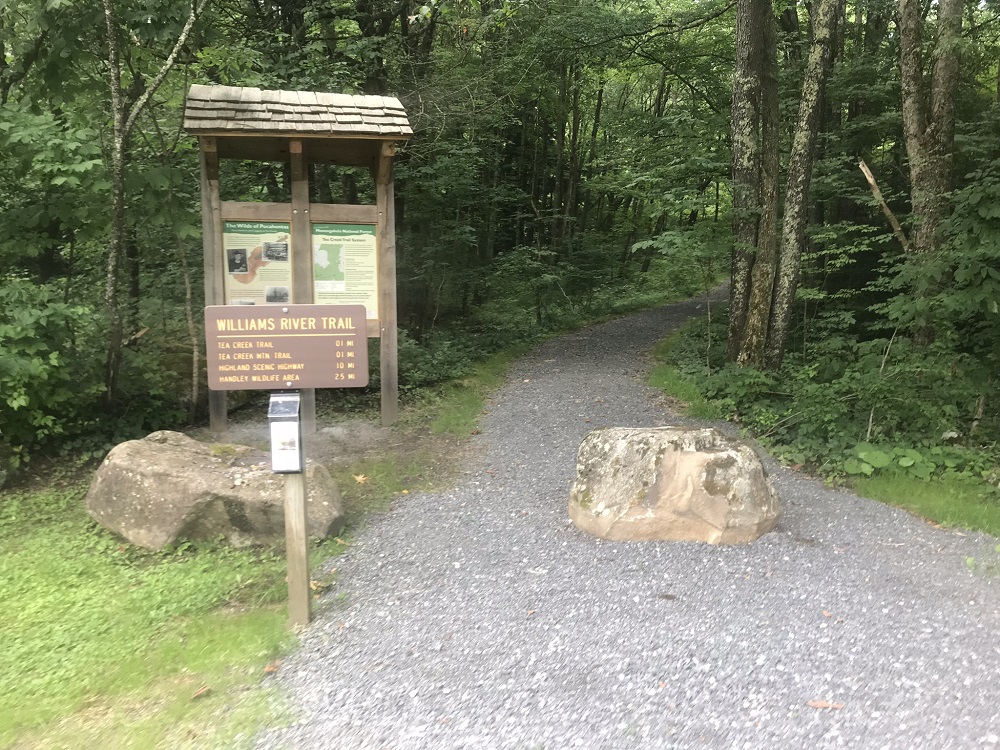
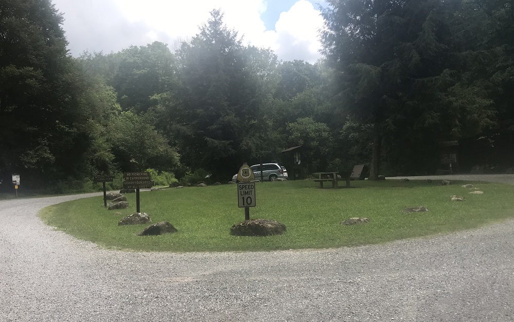
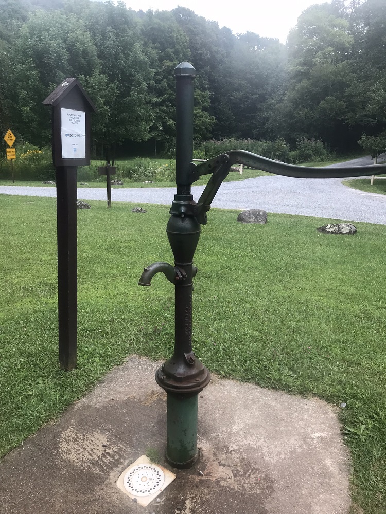
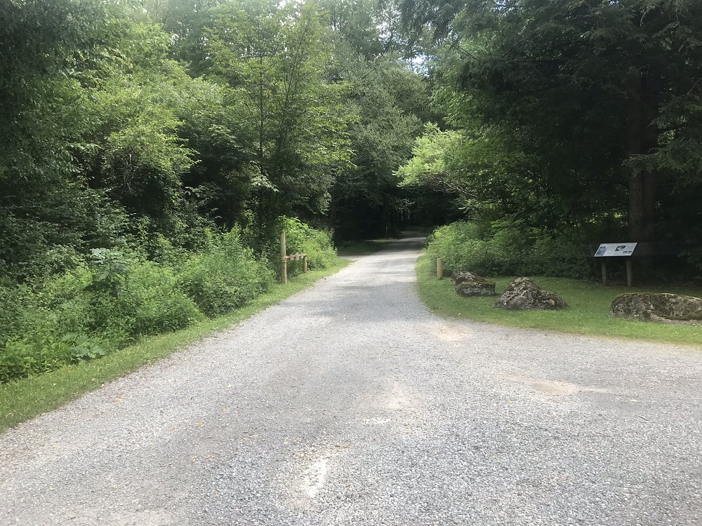
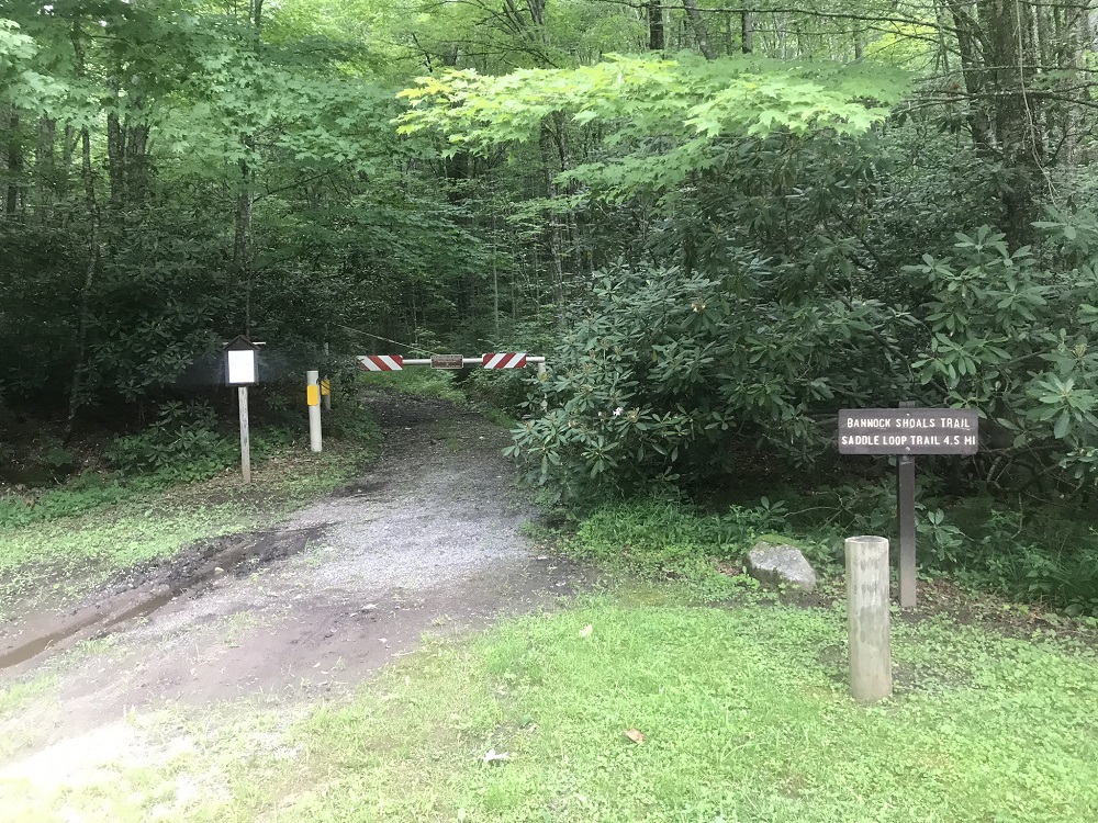
- Mile 0.0 – Start the hike in the parking area at the front of the campground. To your right you will see a kiosk and trail sign for the Williams River Trail TR 487, which you will use at the very end of this loop. There is a hand pump here and parking for 6-10 cars. The campground is relatively large with 28 private campsites – including some along Tea Creek. Start the hike by walking up the campground road on your right, straight up the road you used to enter the campground. Pass the campground pit toilets on your left, then several campsites.
- Mile 0.3 – Come to the end of the public road, where there is a turnaround. The trail will be on your left – it is a woods road behind a gate marked as the Bannock Shoals Trail TR 446. Go around the gate and start up the Bannock Shoals Trail TR 446 (unblazed).
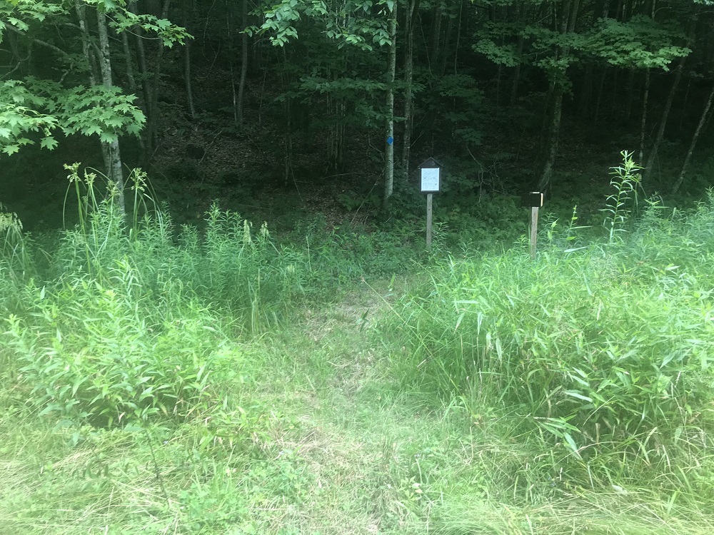
- Mile 0.6 – In a small open meadow, look for a sign announcing the blue blazed Turkey Point Connector Trail TR 410. You could continue straight on the Bannock Shoals Trail TR 446 and get to the same place, but it takes a lot longer and doesn’t seem as interesting. Take a right onto the Turkey Point Connector Trail TR 410.
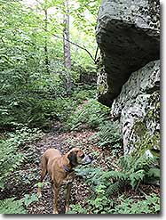
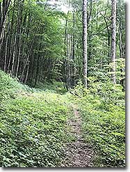
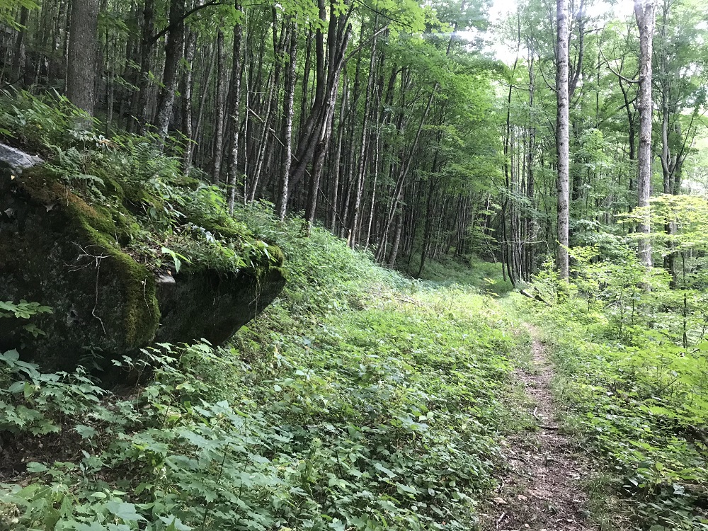
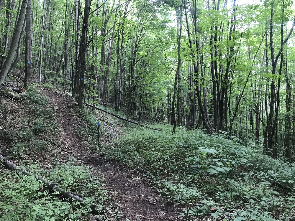
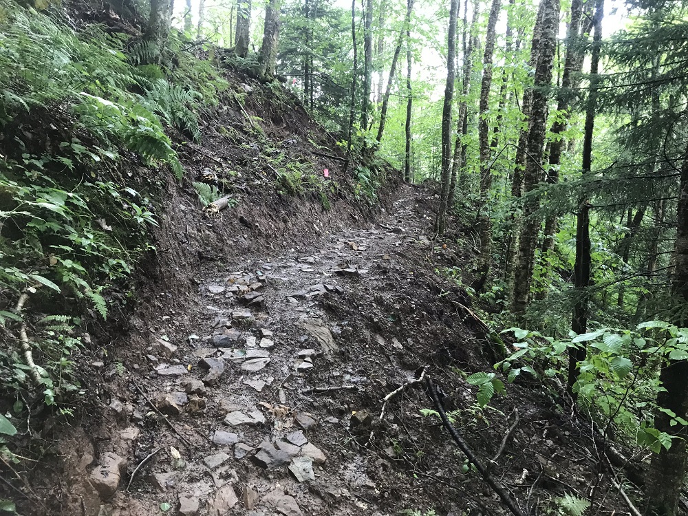
- Mile 0.5 – The Turkey Point Connector Trail TR 410 starts with a mild climb on an old woods road before the trail leaves the road, switches back, finds another woods road, and begins climbing more steeply, reaching a grade of 20 percent for a while before the trail ends at the top of the mountain – one of the steeper trails in the entire state. The trail is very rocky in parts, and looks much like several of the trails in Cranberry Wilderness to the south. Although it would seem like a rough descent, this trail is reportedly popular with mountain bikers, and tire channels could be seen in every wet spot on the trail – indicating recent bike use. Be alert!
- Mile 2.1 – Reach the crest of the mountain. The Turkey Point Connector Trail TR 410 ends here and the blue blazed Turkey Point Trail TR 447 begins, but it is difficult to determine exactly where the switchover occurs. The top of the mountain is supposed to be circled by a small loop trail that is part of the Turkey Point Trail TR 447, but there was no evidence of a loop during a July hike – perhaps it would be more visible during the Winter.
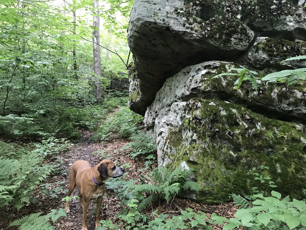
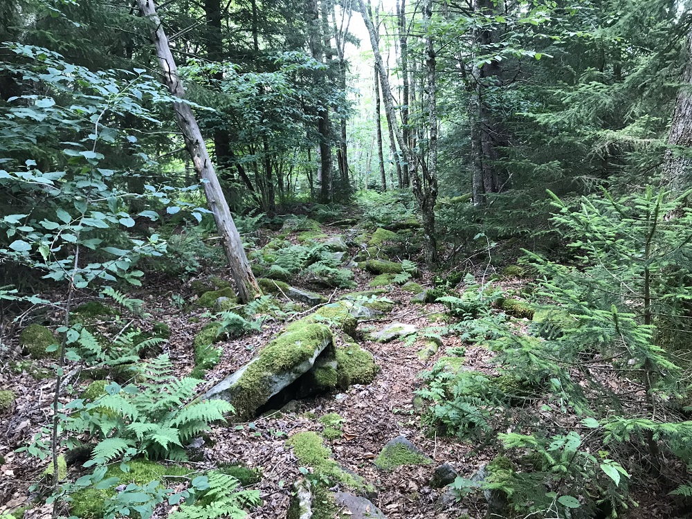
- Mile 2.7 – After a brief level period, the trail begins to climb again while passing through an interesting area with large boulders.
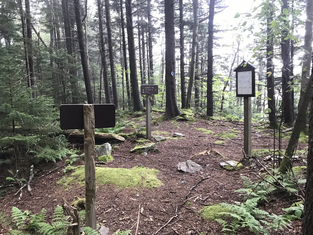
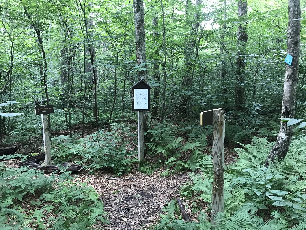
- Mile 3.0 – An intersection with the Saddle Loop Trail TR 448 is marked by a trail sign and a map. Keep going straight on the Turkey Point Trail TR 447.
- Mile 3.6 – Intersect with the Boundary Trail TR 449 at the high point on this loop, just over 4300 feet elevation. The Turkey Point Trail TR 447 ends here. Continue to the right, downhill on the Boundary Trail TR 449, hiking along the edge of the National Forest lands.
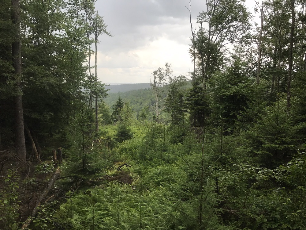
- Mile 4.1 – The forest opens up to the north due to some old clear cuts on private lands. Some trail guides claim that beautiful views are available towards Cranberry Wilderness on trail sections crossed earlier on this hike, but those views did not exist in Summer.
|
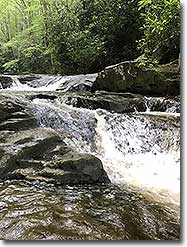
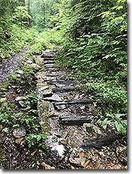
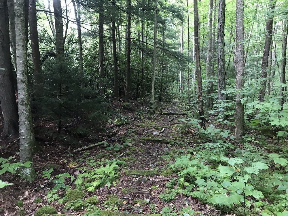
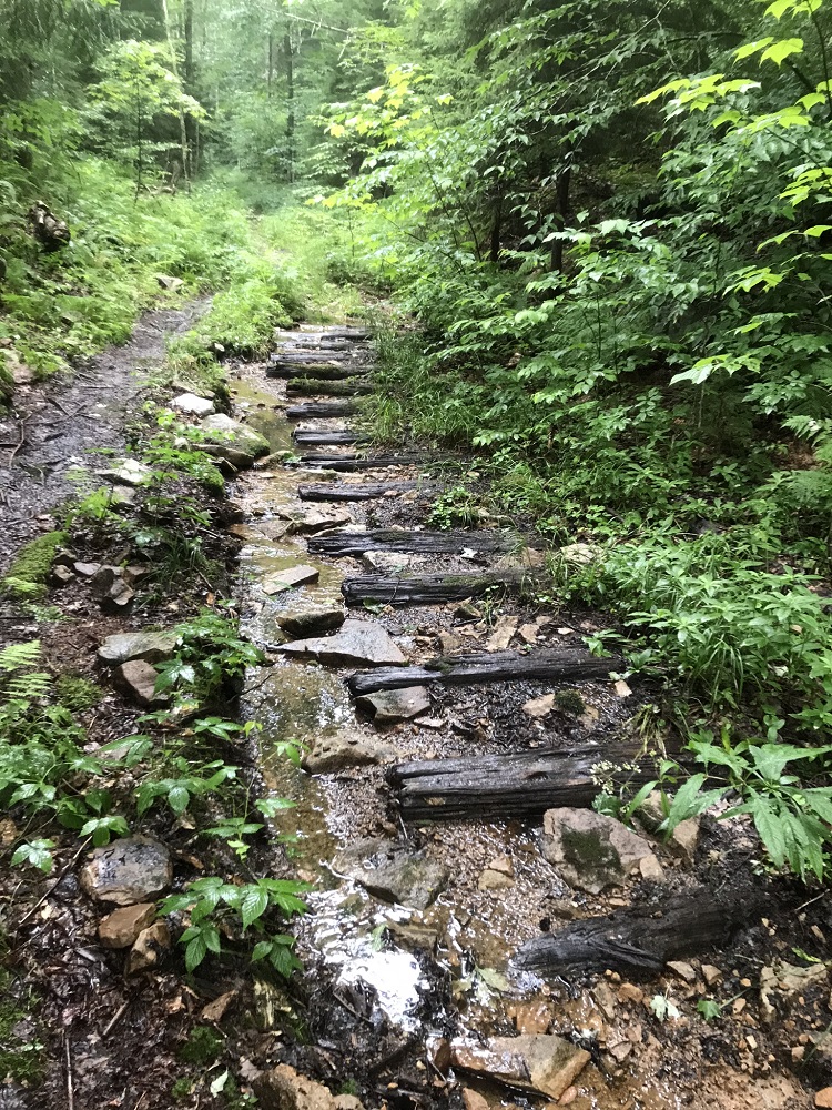
- Mile 5.7 – Encounter the first of many stream crossings. Note the old rail ties in the trail after this point – you will see them frequently, as the trail uses an old rail bed. The rails are long gone, but the ties remain in places. Mountain bike groups are reconstructing trail sections to avoid the ties.
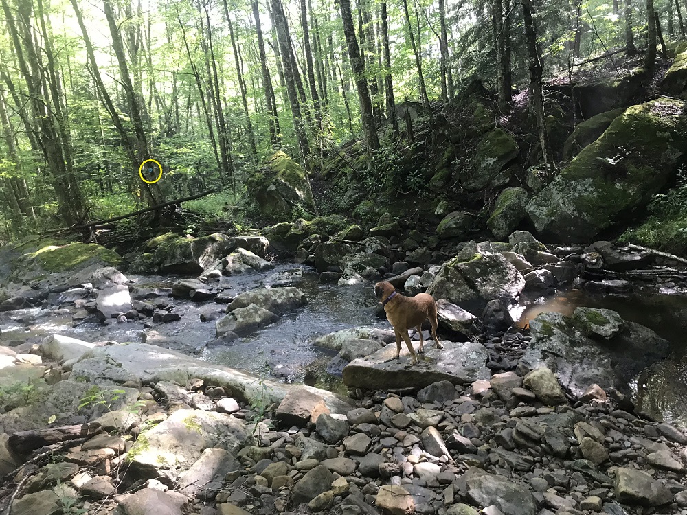
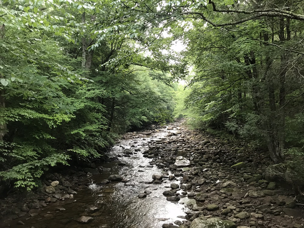
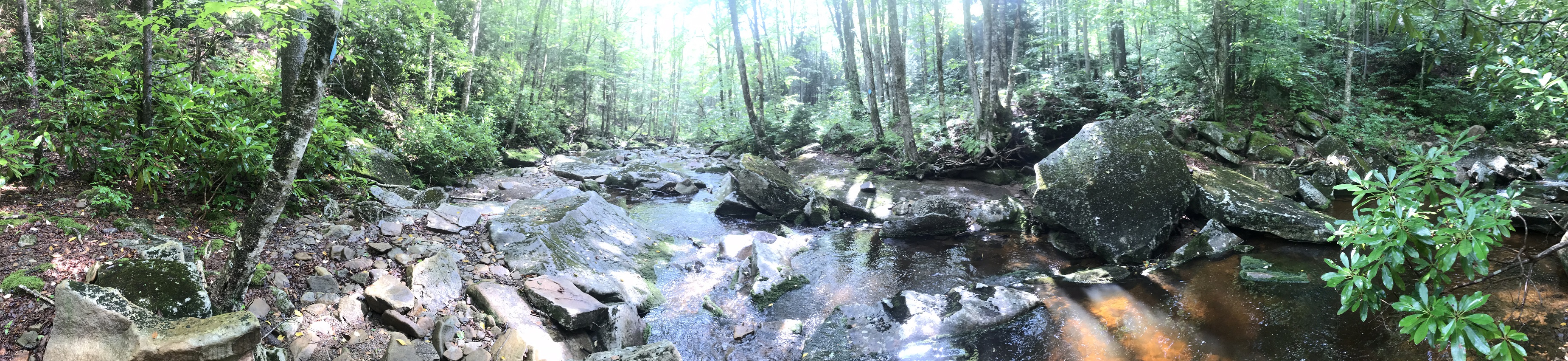
- Mile 6.6 – Descend to two stream crossings in rapid order. The second crossing is the main branch of Tea Creek. You will follow Tea Creek for the rest of the hike, back to your vehicle. Don’t think that it will be easy however; this is a deceptively tough trail (especially if wet), which will have you descending another 1,000 feet over the next 5 miles. Just after crossing Tea Creek, you will come to a somewhat confusing trail intersection. The Boundary Trail TR 449 ends at the blue blazed Tea Creek Trail TR 454, which you take to the right. Just after that is an intersection for the Bear Pen Ridge Trail TR 440. Stay to the right on the Tea Creek Trail. This trail forms the backbone for much of the backcountry traveling in this area, so you are most likely to see other trail users during the remaining miles of the loop.
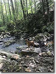
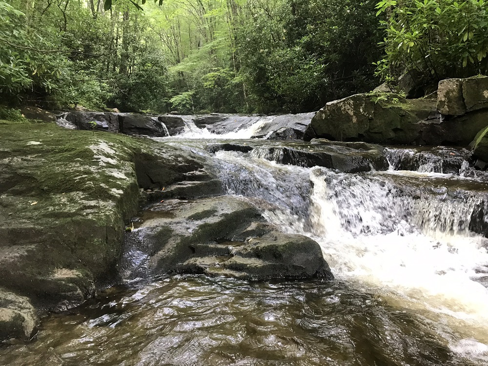
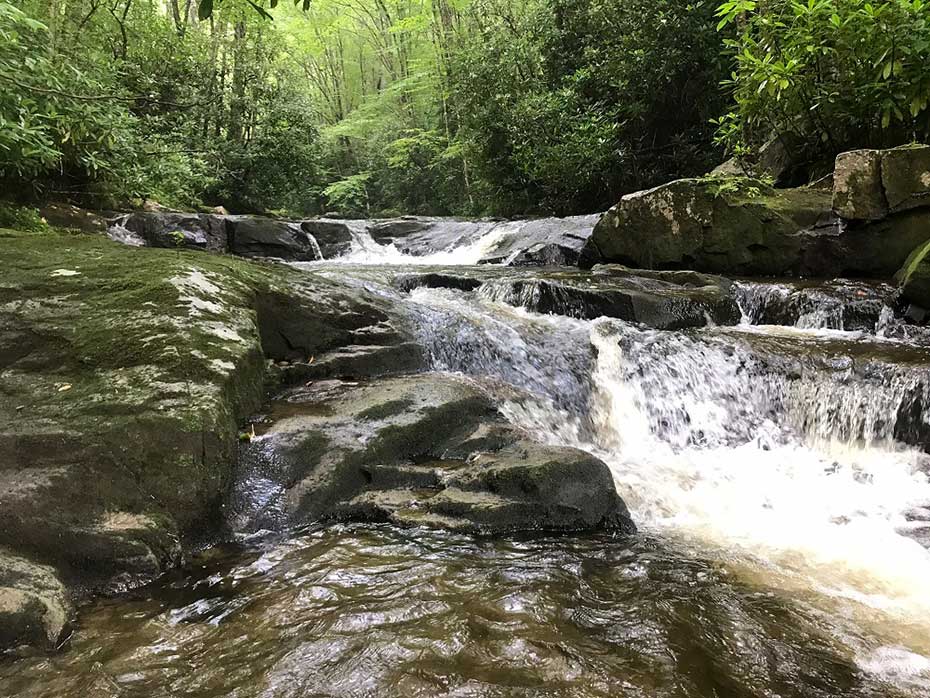
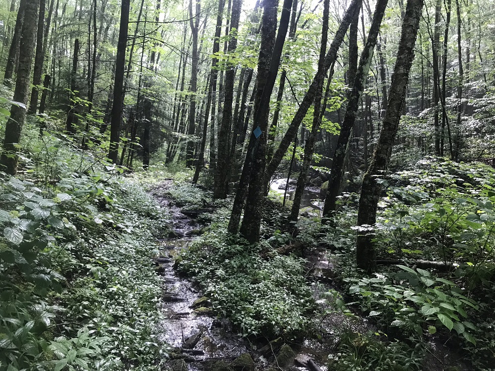
- Mile 6.8 – Cross Tea Creek again, and keep crossing back and forth nine times over the next mile and a half. Keep an eye out for blue diamonds to help you determine whether to cross. When crossing, the rocks can be slick and the stream banks high. This trail can prove both physically and mentally exhausting, but it is very beautiful. It might remind you of the Ramsey’s Draft Trail in Virginia, though this is a tougher hike. You should not have too much trouble figuring out where the name of the creek came from, after crossing it a few times.
- Mile 7.4 – Traverse a new section of trail constructed by a mountain biking group. Part of the reason this section of trail is so tough is its history – Tea Creek has washed away trail and bridges many times over the years, including in June 2016 due to a storm described as a “1,000-year event -- meaning that much rainfall in a single event occurs only once in about 1,000 years.” Because of ongoing construction, this will probably be an easier hike as time passes.
- Mile 8.4 – You may find that the toughest stream crossing is over the Right Fork of Tea Creek. After this crossing, pass the trail intersection for the Right Fork Tea Creek Trail TR 453, which connects with the North Face Trail TR 450. Just after that is the one great camping option on this loop: an Adirondack style shelter (one of three such structures in the area).
- Mile 11.1 – The hike gets easier after the shelter, with no more major stream fords and less rocky ground. But at 11.1 miles it leaves the Tea Creek floodplain and climbs part way up the mountainside before continuing south towards the end of the hike.
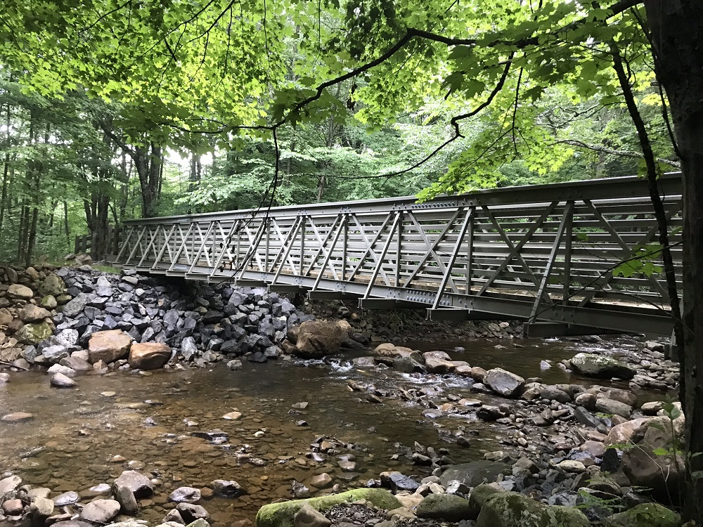
- Mile 11.6 – Reach the Tea Creek Mountain Trail TR 452 and the end of the Tea Creek Trail TR 454. Turn right and merge into the Williams River Trail TR 487, which you take over a new pedestrian bridge, which replaced the one washed away in 2016. Underneath the bridge can be seen the line of rocks that hikers used before the bridge was replaced. Stop for a minute to appreciate Tea Creek one last time before returning to the parking lot, 50 feet further.
|
|

