|
| Length |
Difficulty |
Streams |
Views |
Solitude |
Camping |
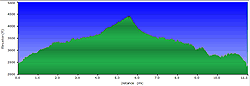
| 5.8 mls |
 |
|
|
 |
N/A |
Hiking
Time:
Elev. Gain:
Links:
Resources: |
3 hours with 30 minutes of breaks
1,560 ft
 Conserving Carolina Conserving Carolina
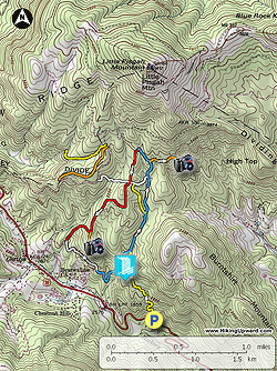
Topo Hike Trails Map (PDF)
Gerton NC Weather Forecast
Garmin (GDB), Gaia/Trails App (GPX) (What's
this?)
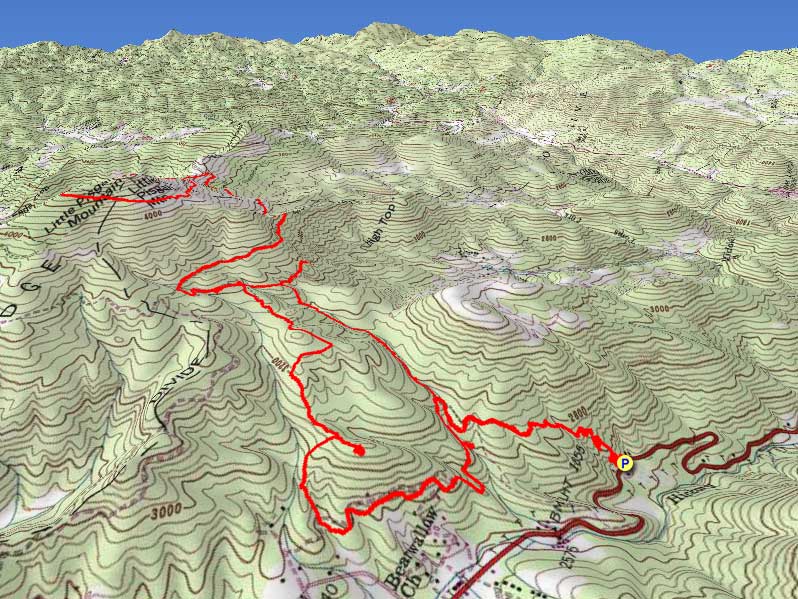
3D View of Route |
 By Trail Contributor: Zach Robbins (Contact Zach) By Trail Contributor: Zach Robbins (Contact Zach)
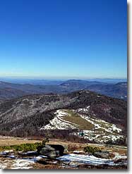
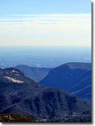
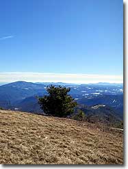
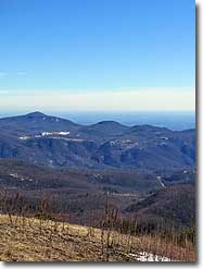
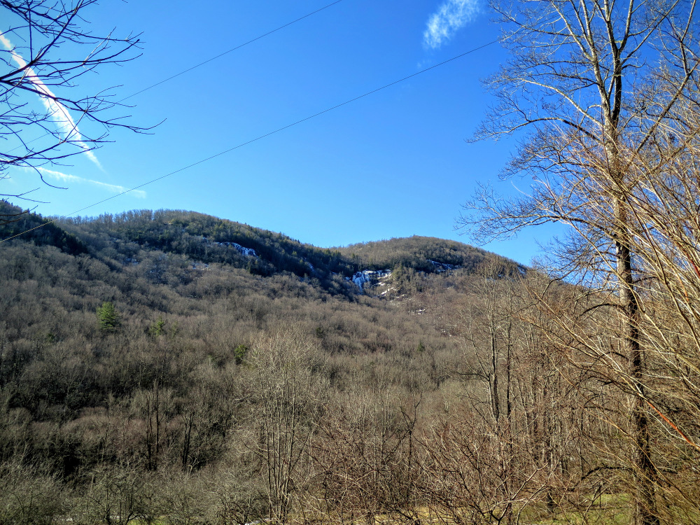
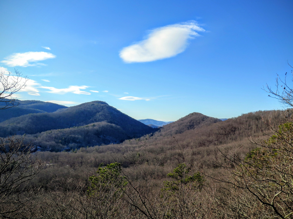
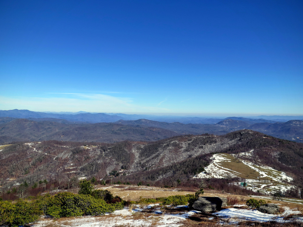
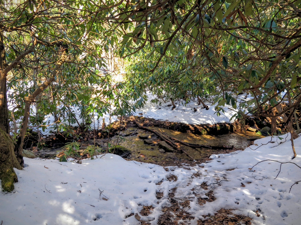
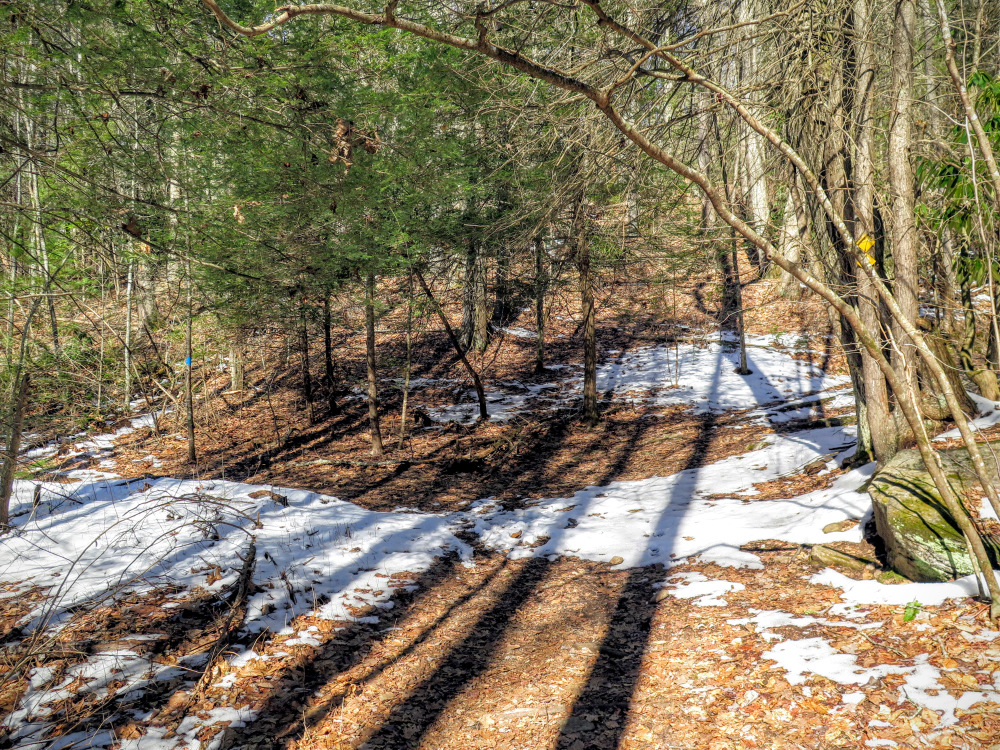
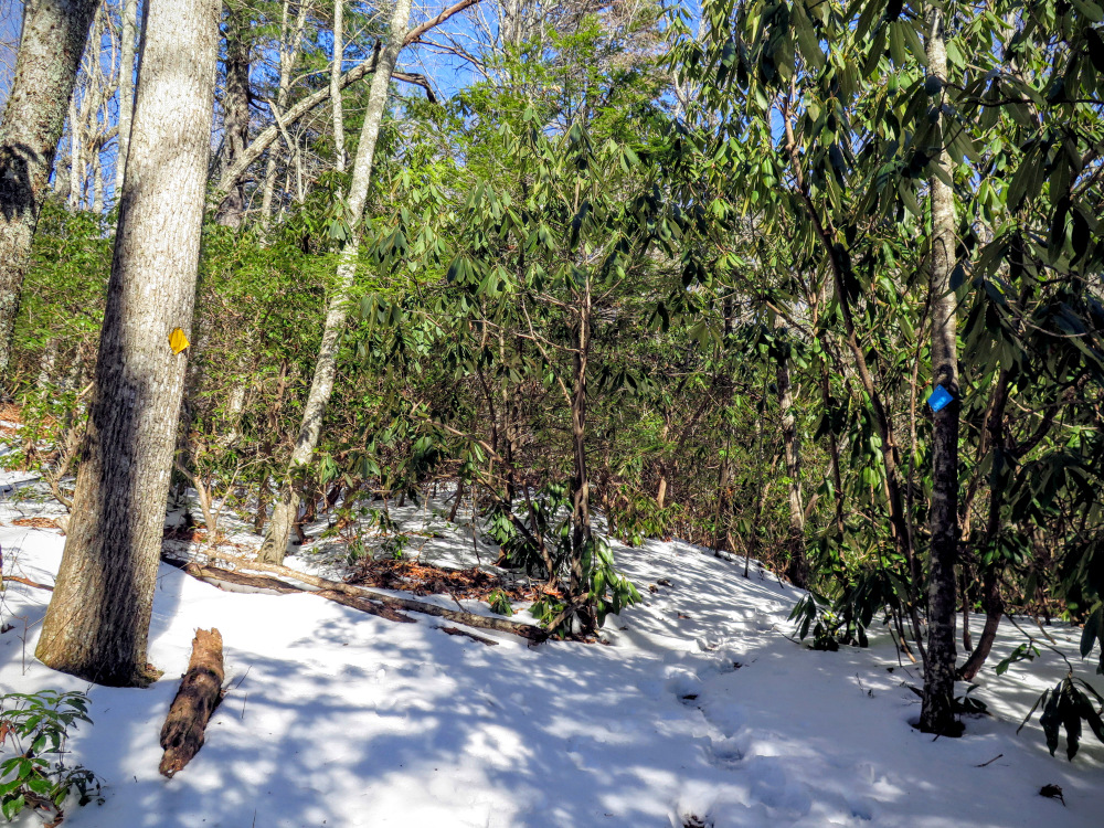
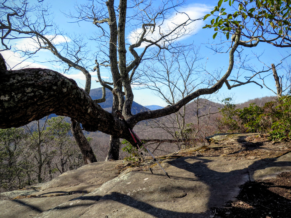
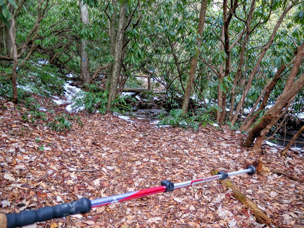
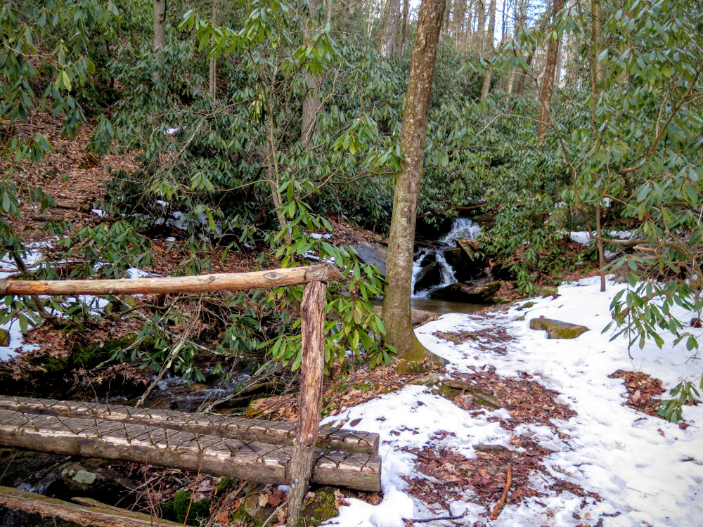
Little Pisgah Mountain lacks the recognition of neighboring sights in the Hickory Nut Gorge but it may have the best view of them all. Tucked behind the Florence Nature Preserve, the mountain lies outside of an official trail system. It’s probably why most people have no idea it is an easy, albeit long road walk beyond the preserve. At the summit you’ll be treated to glorious 270° views north, east, and south of the rugged Hickory Nut Gorge and two of the tallest mountain ranges in North Carolina.
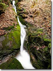
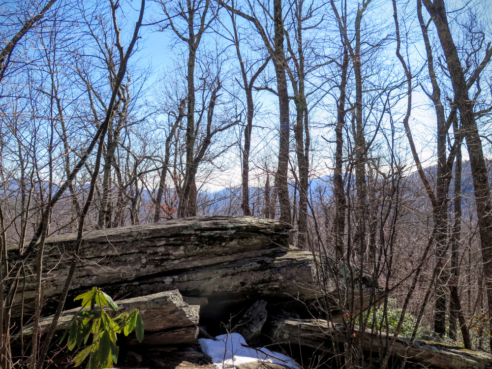
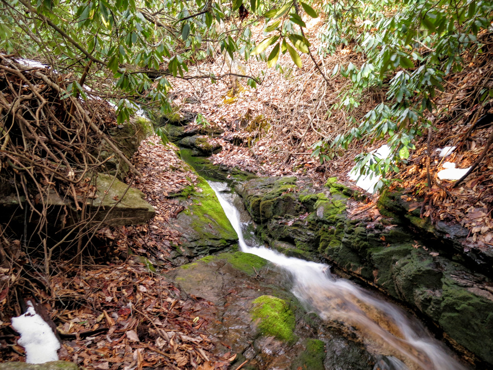
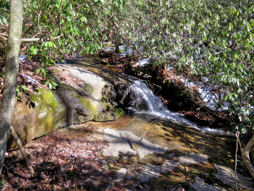
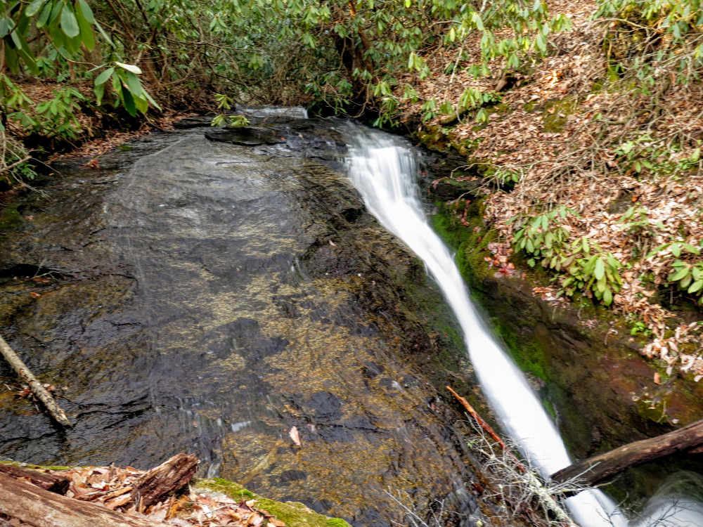
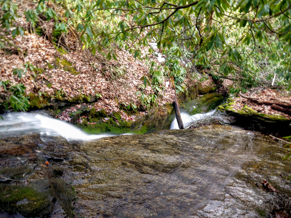
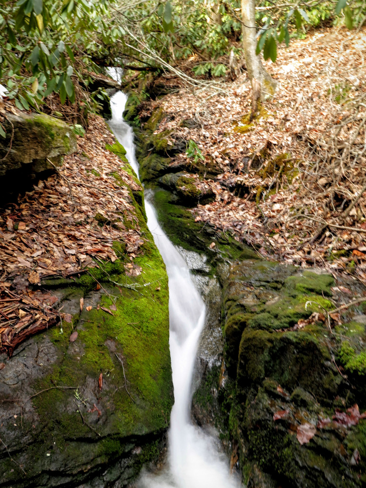
If you decide to forego the long hike and explore the nature preserve, you’ll still have a nice view from Rattlesnake Knob and see a surprisingly cool chute waterfall. Either way this is a spot worth checking out and is part of the push to expand hiking opportunities in the Hickory Nut Gorge.
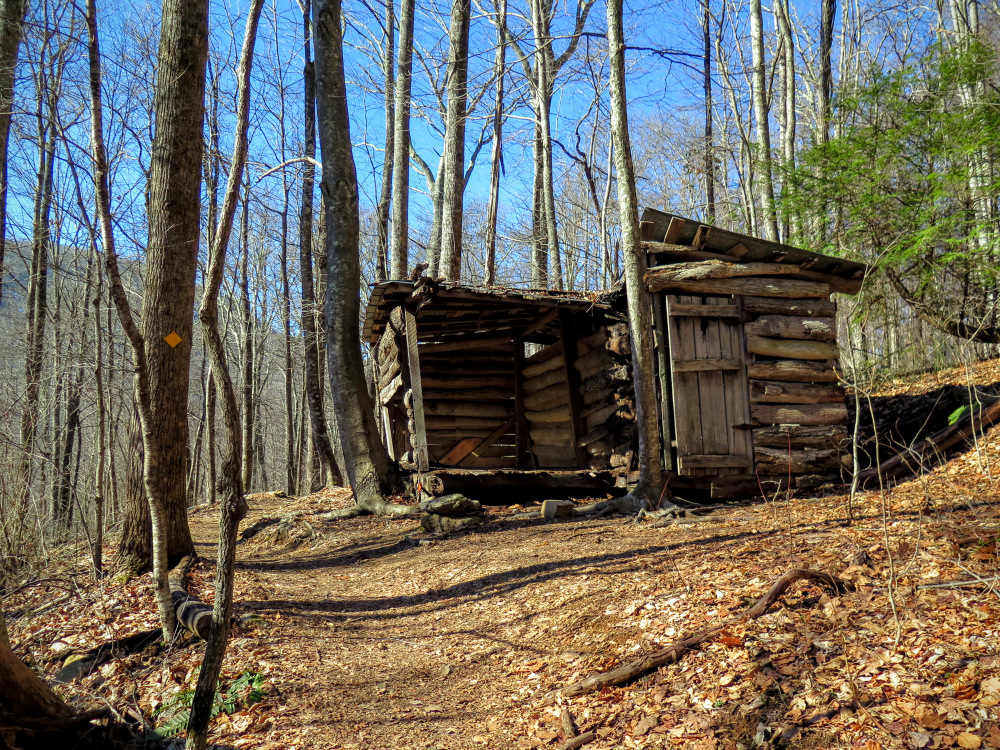
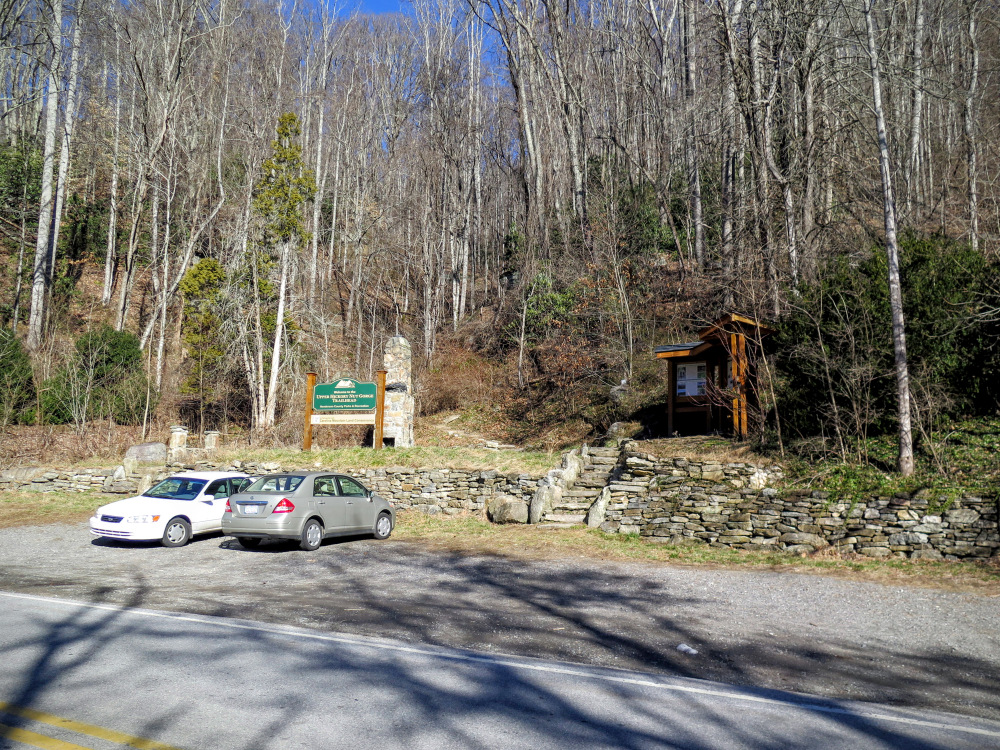
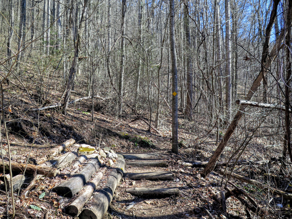
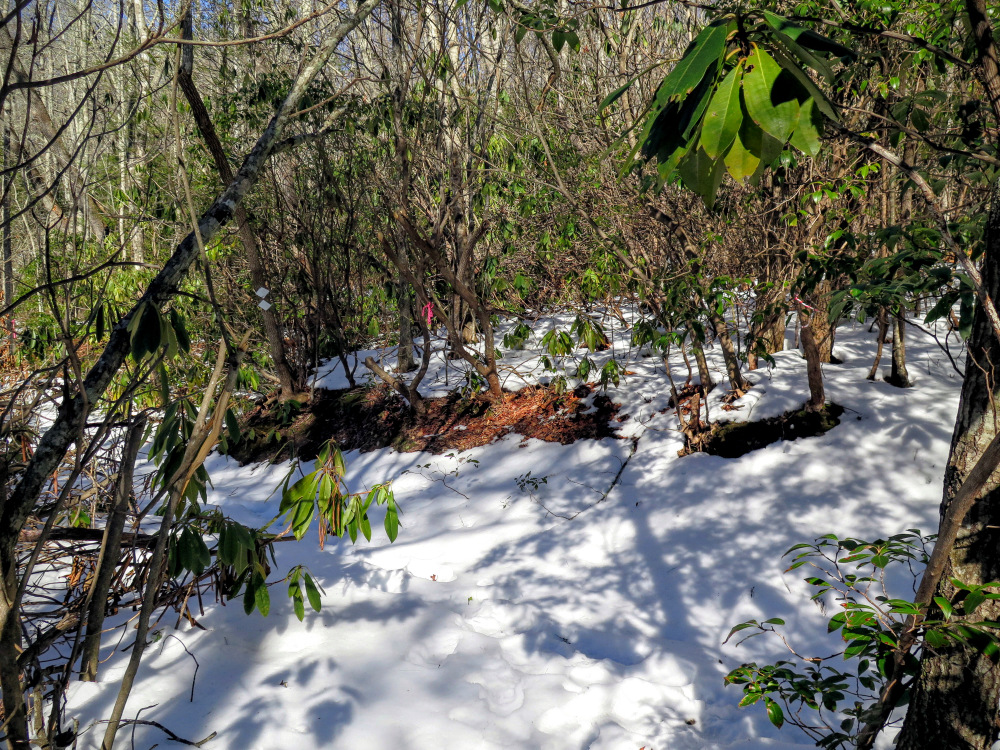
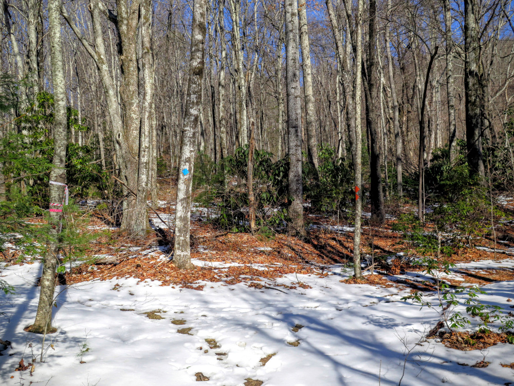
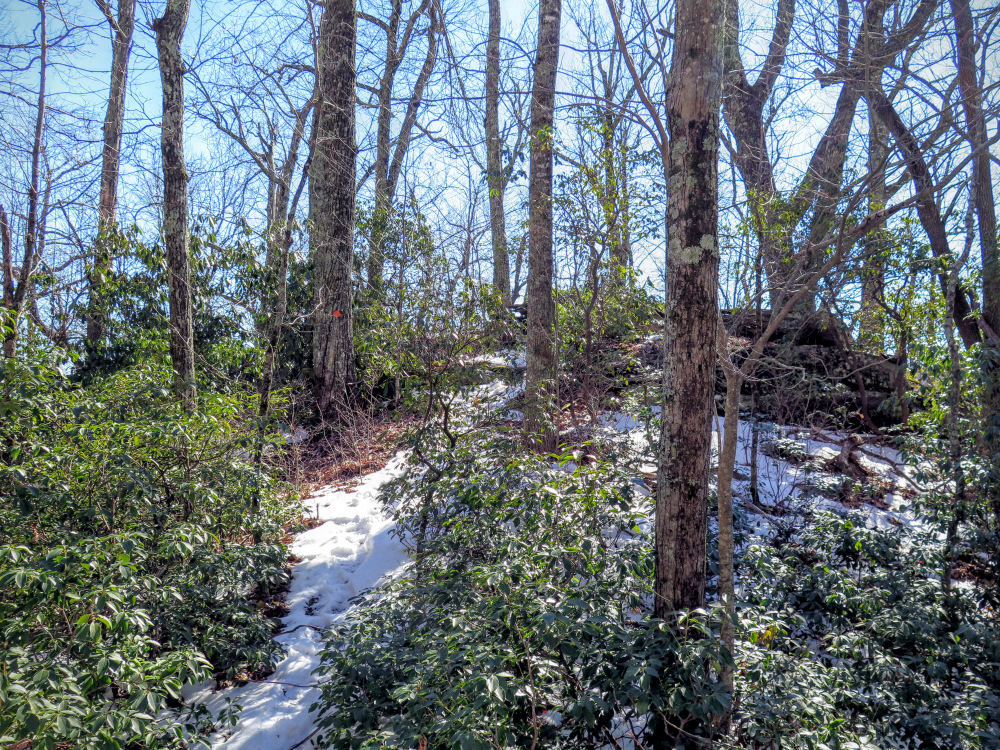
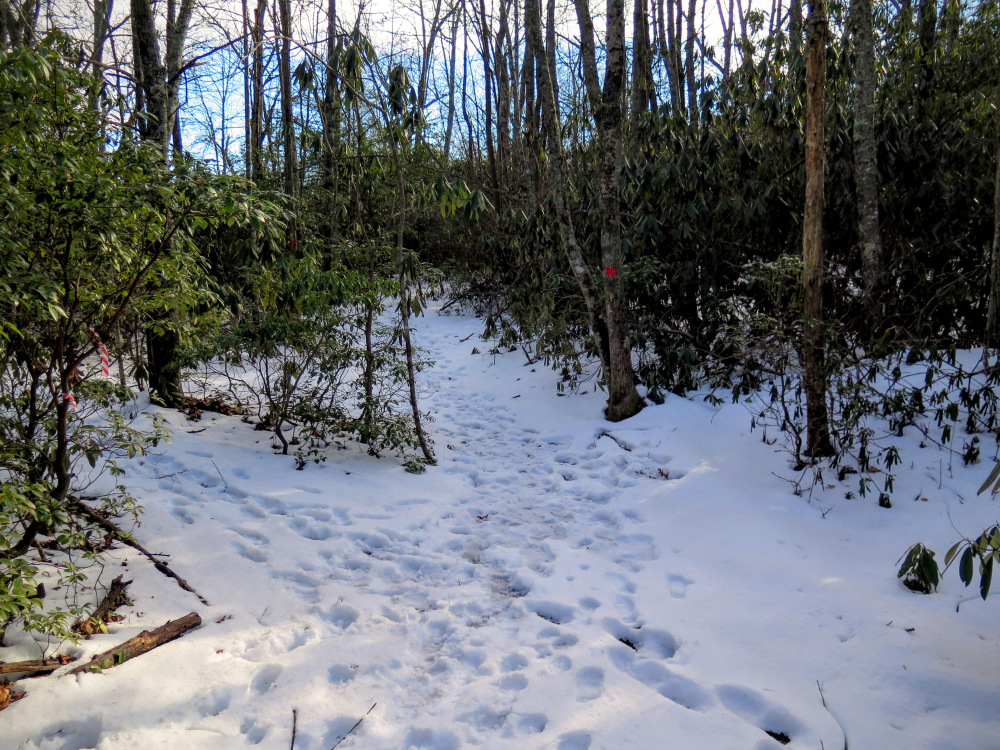
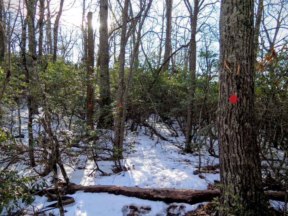
Note - The trails in the Florence Nature Preserve have no official names and are simply referred to by their blaze color. There are multiple trails with the same color so it is recommended to bring the trail map on your hike
|


