|
| Length |
Difficulty |
Streams |
Views |
Solitude |
Camping |
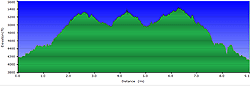
| 9.1 mls |
 |
N/A |
|
 |
 |
Hiking
Time:
Elev. Gain:
Resources: |
4 hours and 15 minutes with 45 minutes of breaks
2.025 ft
 Topo Hike Trails Map (PDF) Topo Hike Trails Map (PDF)
Blossontown, NC Weather Forecast
Garmin (GDB), Gaia/Trails App (GPX) (What's
this?)
3D
View of Route |
 By Trail Contributor: Zach Robbins (Contact Zach) By Trail Contributor: Zach Robbins (Contact Zach)
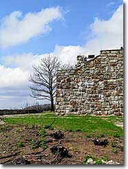
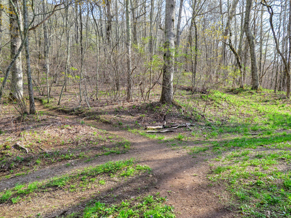
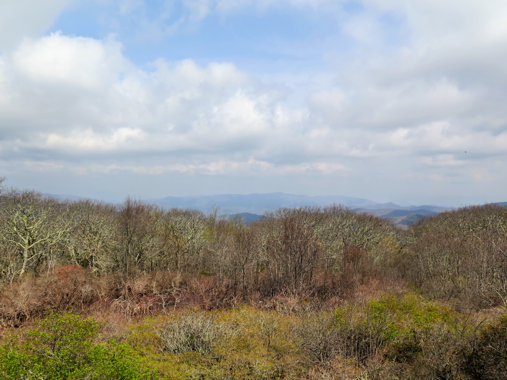
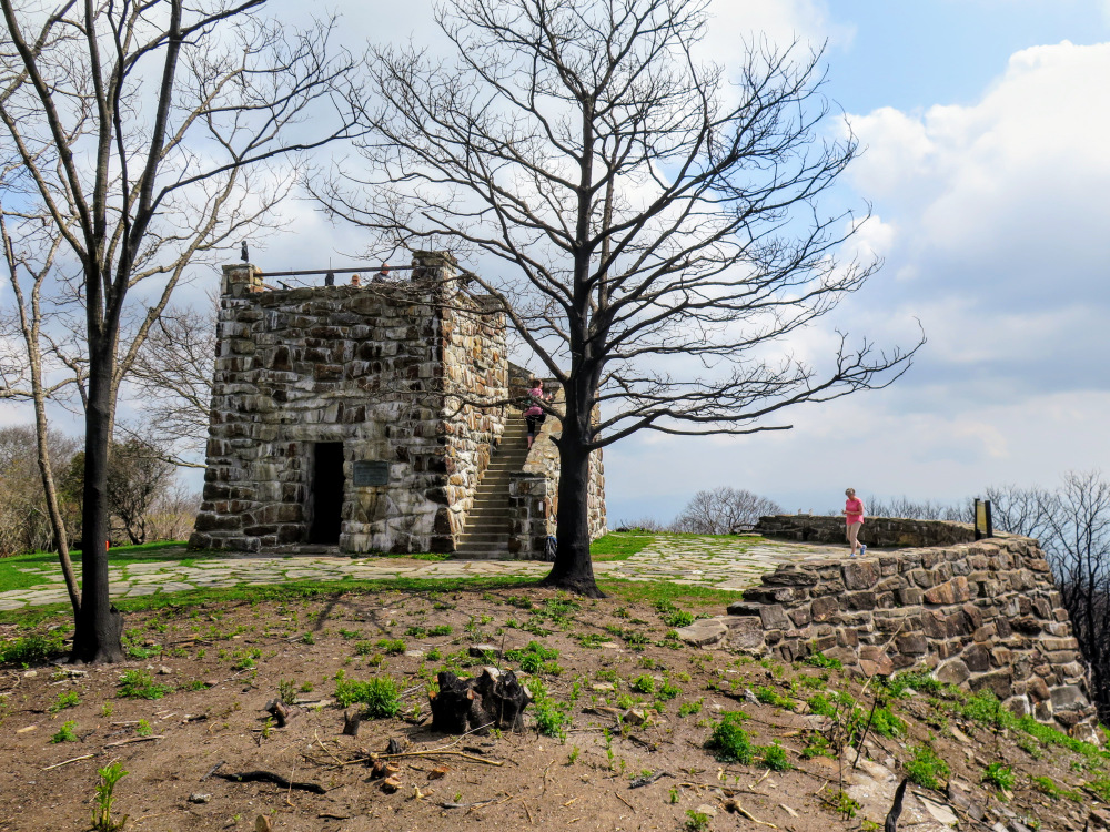
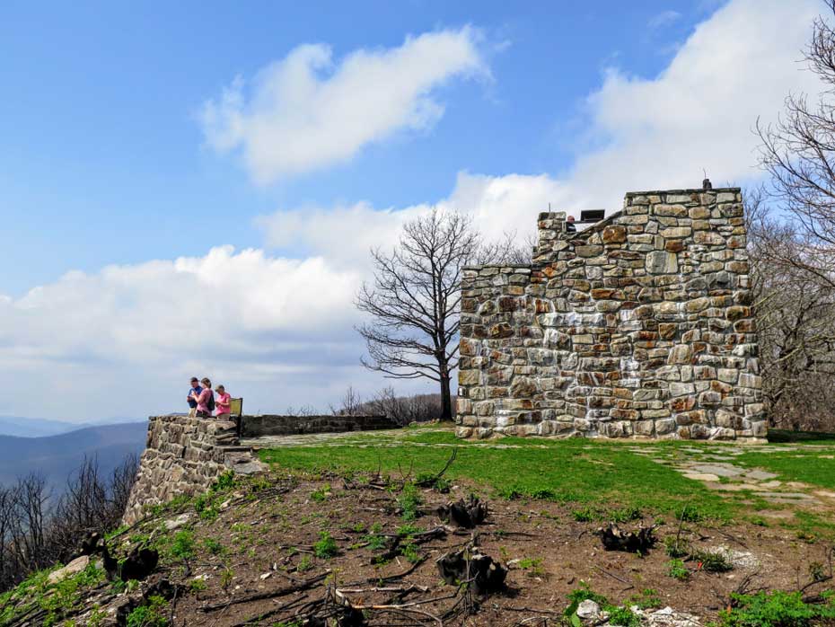
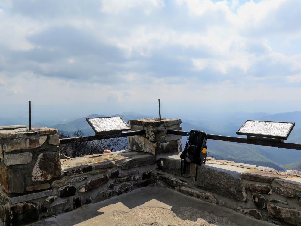
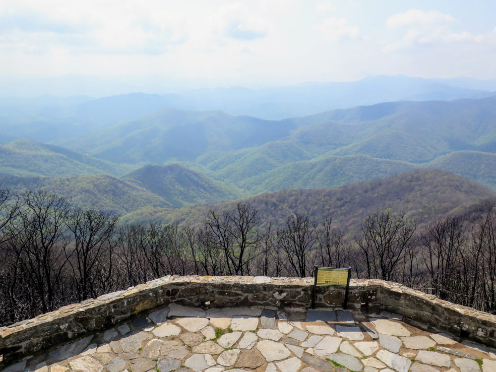
The stone lookout tower on Wayah Bald provides outstanding views south of the biggest mountains in Nantahala National Forest. Although you can drive to the summit, the hike described here is a wonderful way to tackle the peak on foot. You’ll start at a relatively high elevation and never experience a steep grade, making this 9.1-mile hike easier than the length suggests.
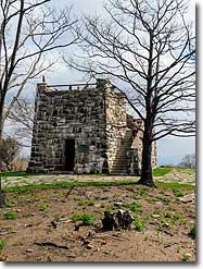
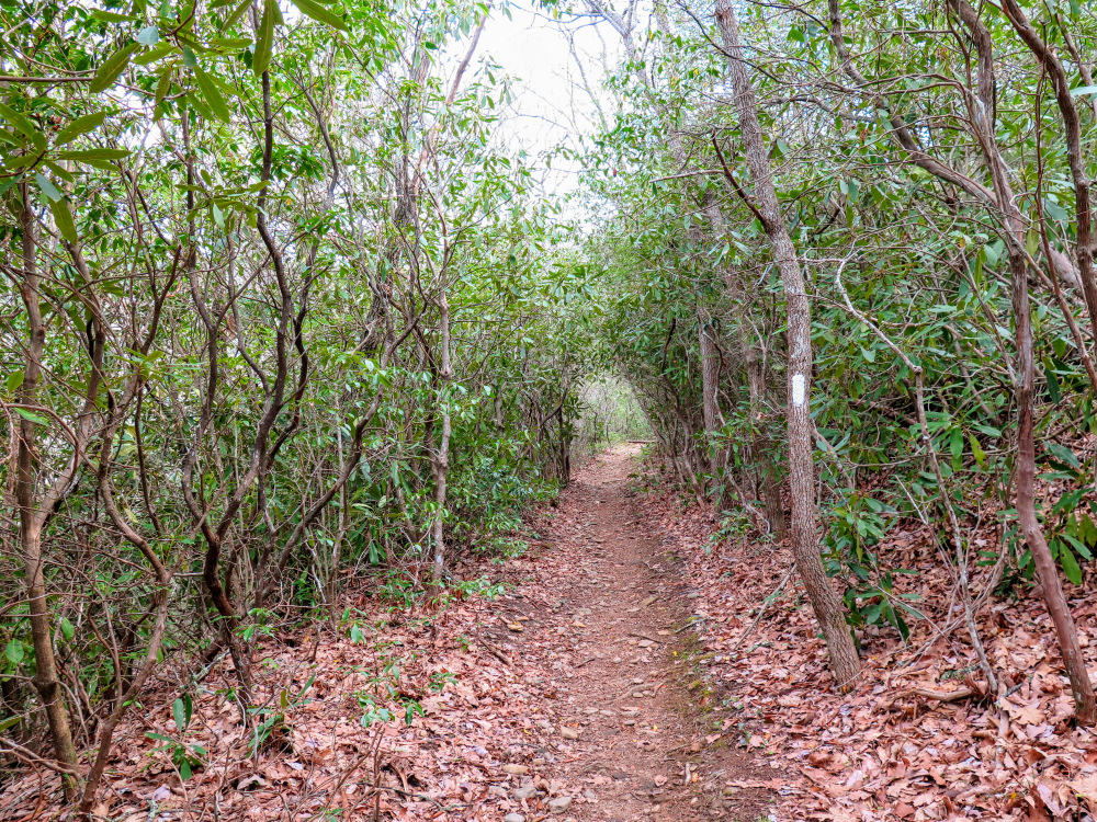
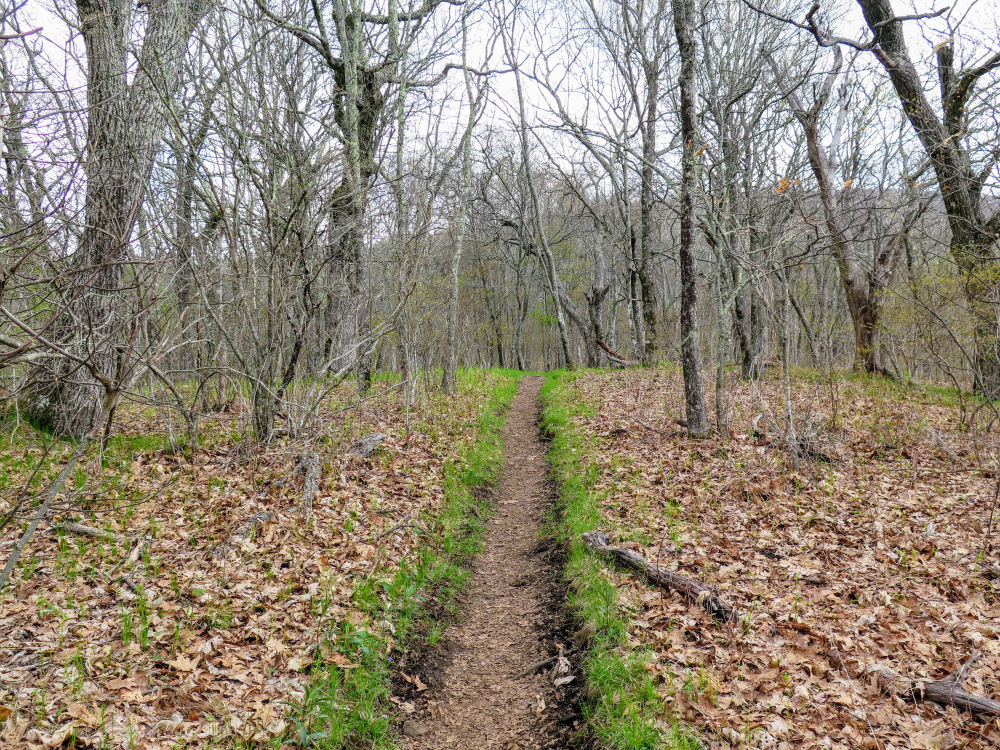
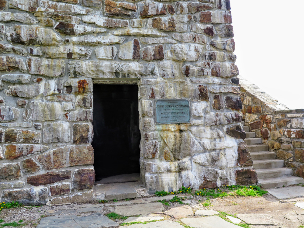
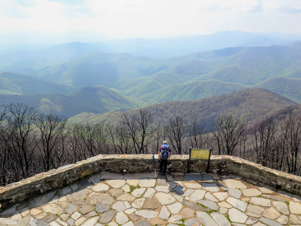
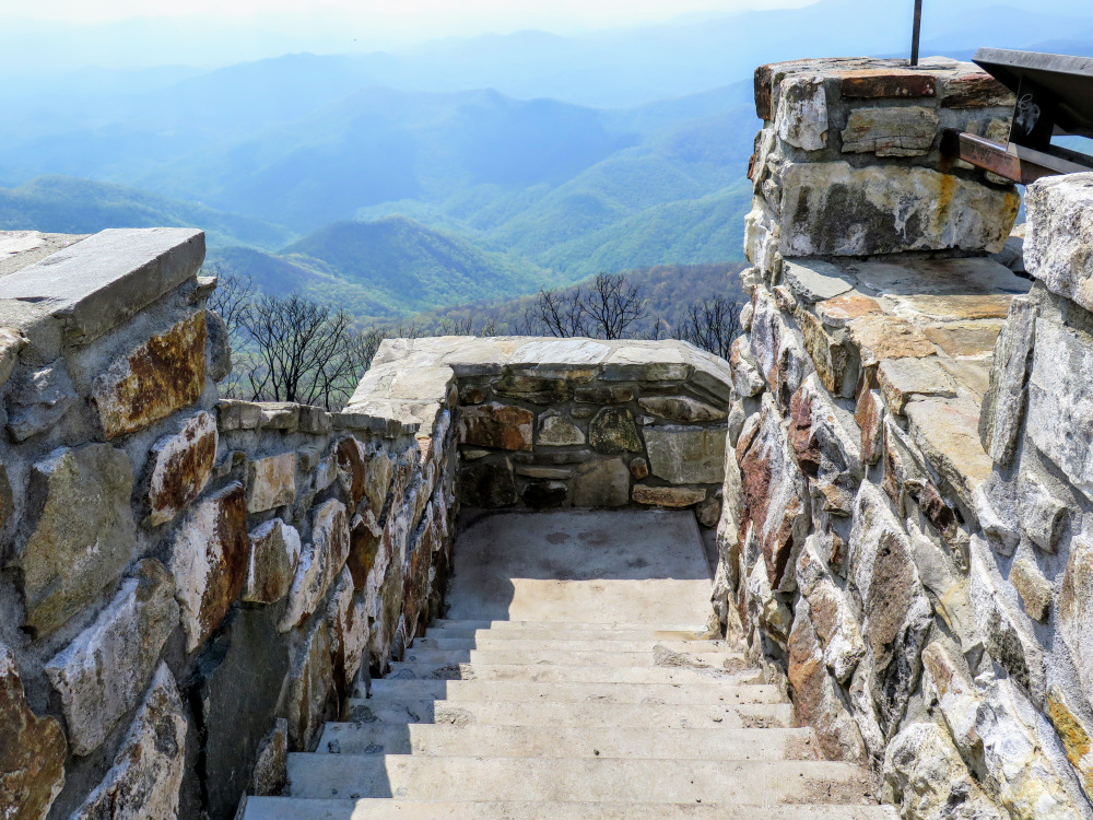
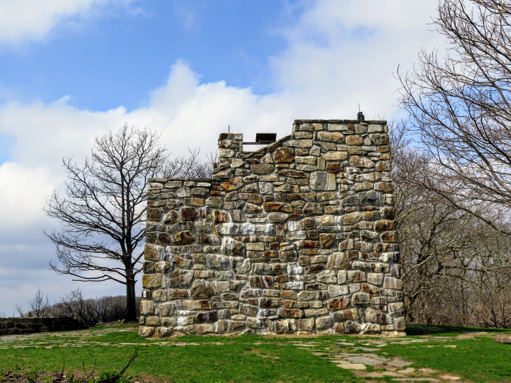
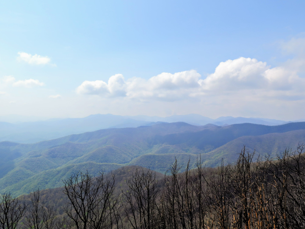
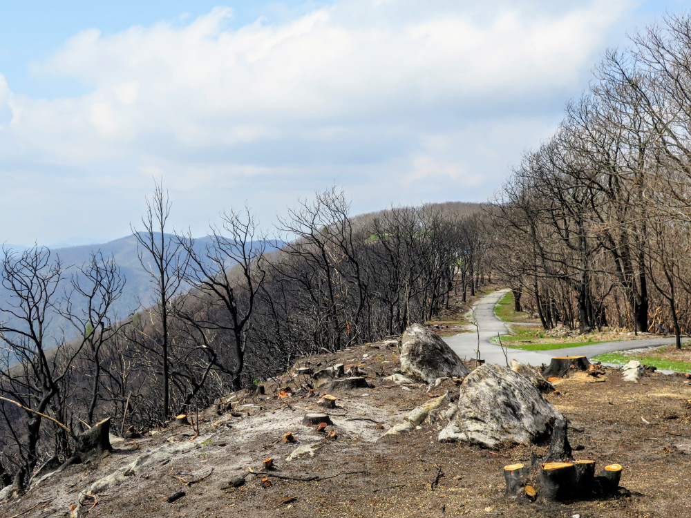
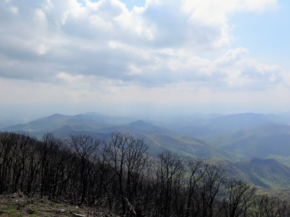
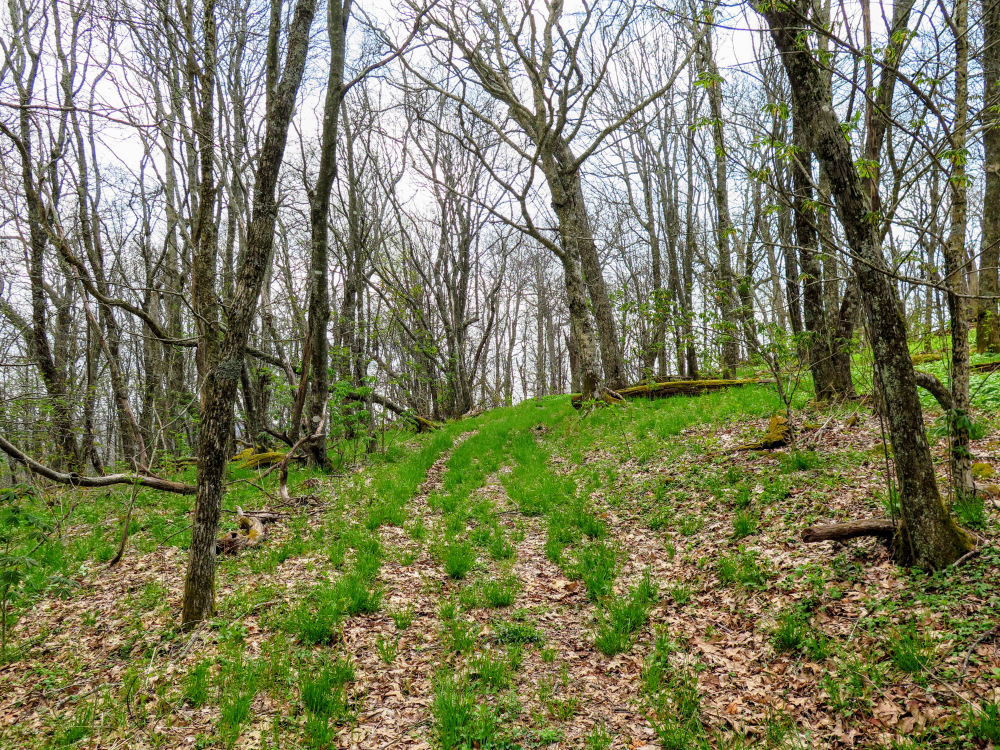
From Wayah Gap the Appalachian Trail passes through beautiful hardwood forests as it ascends Trimont Ridge. As you wind around Wine Spring Bald, the second tallest peak in the Nantahala Mountains, you’ll pass by a beautiful series of campsites above 5,000 feet with the reliable Wine Spring as the water source. The Appalachian and Bartram Trails lead directly to the tower on Wayah Bald at 5,342 feet. The quaint, stone lookout tower on Wayah Bald was completed in 1937. In November 2016, a forest fire ravaged the south slope of the mountain and incinerated the wooden top cab of the tower. You can still enjoy views from the tower, where you can see the Cheoah and Great Smoky Mountains to the north above the trees. The highlight is the panoramic southern view which stretches from Franklin and the Little Tennessee River Valley southeast, the Southern Nantahala Wilderness due south, and Siler Bald and Boteler Peak southwest.
| Mile Summary and Highlights |
1.0 - T-junction with the Shot Pouch Trail/FR 69A
1.4 - T-junction with the Wilson Lick Trail
1.9 - Appalachian Trail crosses FR 69
2.4 - Excellent campsites and spring around Bartram Trail junction
4.2 - Wayah Bald summit (5,342 feet) and stone lookout tower
6.2 - Optional side trip ending at Wine Spring Bald summit (5,451 feet) |
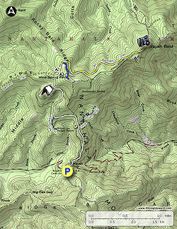
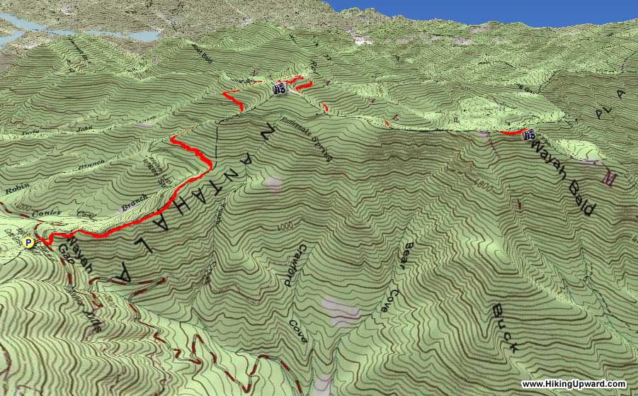
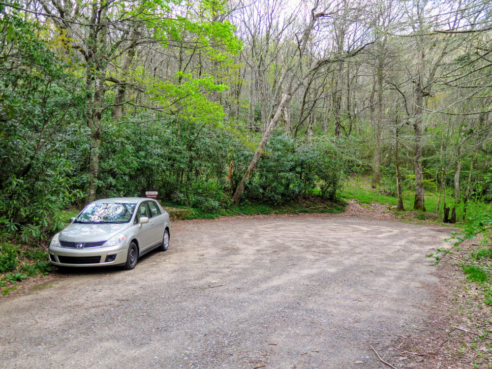
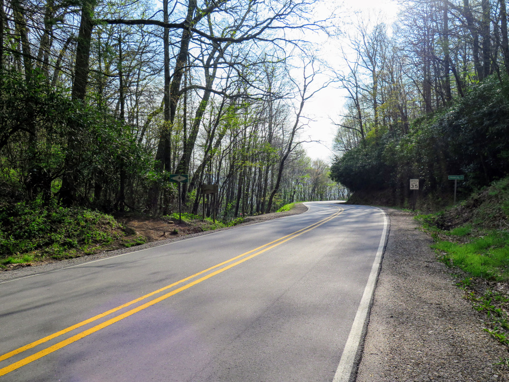
- Mile 0.0 – When Wayah Rd crests at Wayah Gap, look for the unsigned but obvious gravel road on the opposite/south side of FR 69 entrance. There are two parking circles for the Wayah Crest Picnic Area. Walk back out to Wayah Rd and turn right.
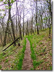
- Mile 0.1 – The Appalachian Trail crosses Wayah Rd immediately east of FR 69. Turn left and begin a moderate ascent north.
- Mile 1.0 – Pass through a cross intersection with FR 69A/Shot Pouch Trail [17]. A large field is located on the right and FR 69 is a hundred feet to your left. This is a parking option for a shorter hike at 7.1 miles.
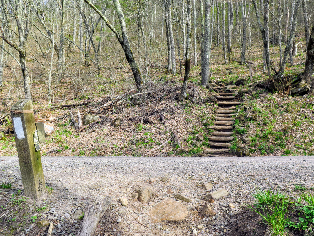
- Mile 1.4 – T-junction with the Wilson Lick Trail [369] on the left. The trail leads to FR 69 and the Wilson Lick Ranger Station historic site. Built in 1913, this was the first station in Nantahala National Forest. You can park at the Wilson Lick Ranger Station for a shorter hike at 6.4 miles.
- Mile 1.9 – Appalachian Trail crosses FR 69 and turns west.
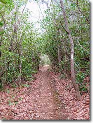
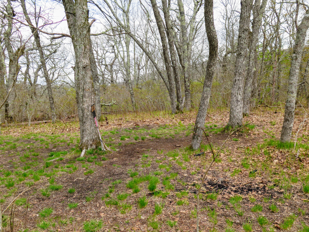
- Mile 2.1 – After the Appalachian Trail turns north you’ll pass through a small, nice campsite area that would be an option if the Wine Spring campsites are crowded.
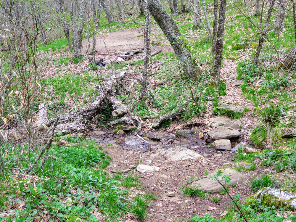
- Mile 2.4 – T-junction with the Bartram Trail [69] (yellow blaze) on the left, which follows the Appalachian Trail east to Wayah Bald. At this junction are excellent campsites on the right, and in 200 feet more campsites on the left below Wine Spring.
- Mile 2.6 – Blue-blazed connector trail to Wine Spring Rd on the right at a Y-junction.
- Mile 3.9 – Cross intersection with FR 69D.
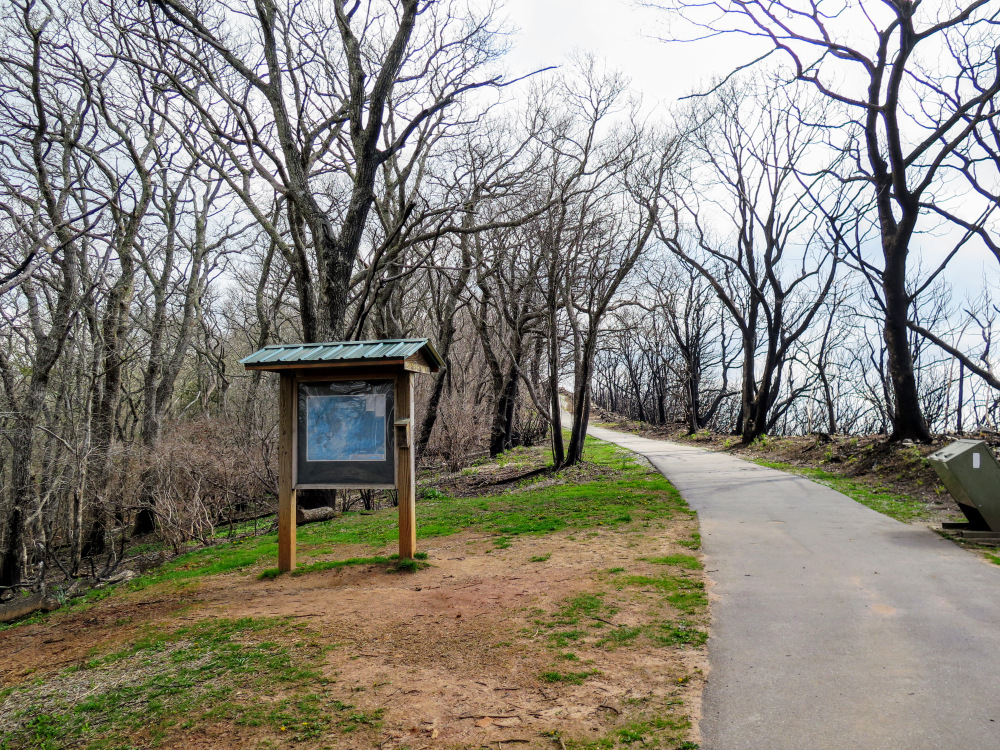
- Mile 4.1 – The Appalachian and Bartram Trails reach the Wayah Bald Recreation Area. Follow the paved walkway to the summit.
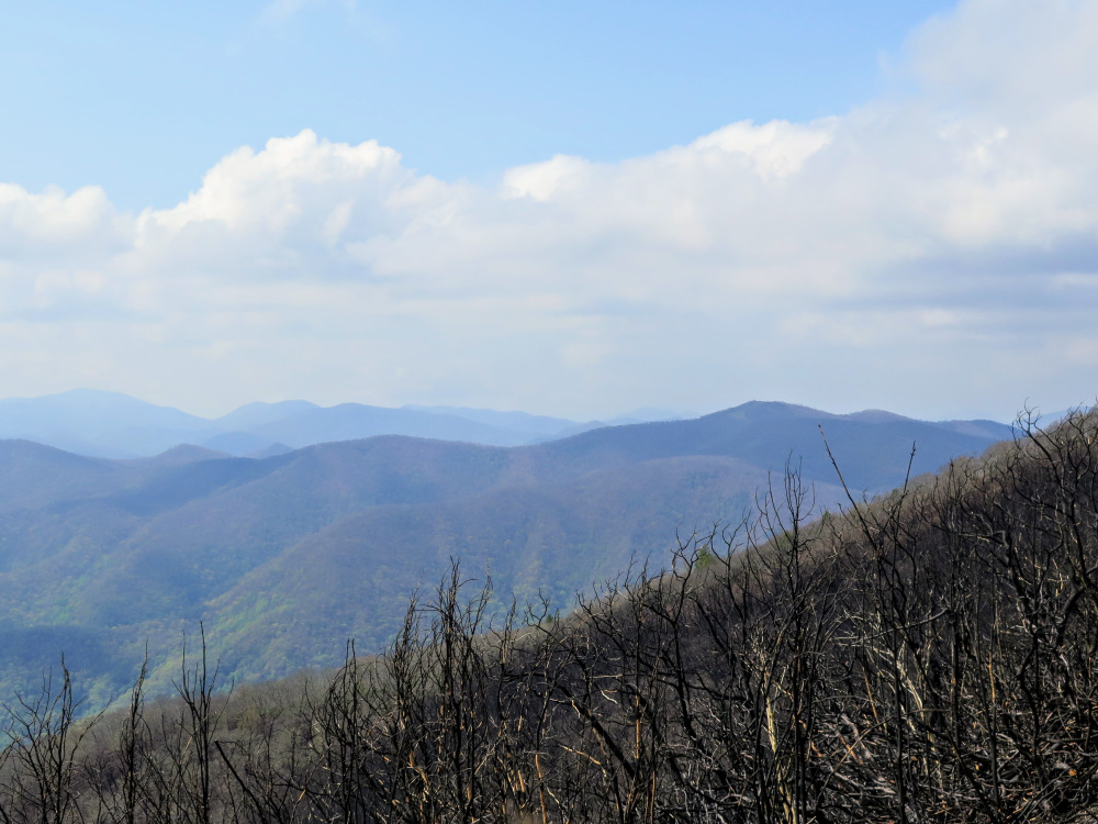
- Mile 4.2 – Reach the summit of Wayah Bald (5,342 feet). The beautiful stone lookout tower was built in 1937. Unfortunately, a forest fire in November 2016 severely burned the south side of Wayah Bald and destroyed the wooden top cab of the tower. You can still walk up the steps and enjoy the panoramic views. The town of Franklin lies to the southeast in the Little Tennessee River Valley, with the Fishhawk Mountains in the distance. Immediately south are the peaks of the Southern Nantahala Wilderness, including Albert Mountain with its own lookout tower and Standing Indian, the tallest peak in the Nantahala Mountains. Siler Bald is the big peak southwest, with Chunky Gal Mountain in the distance. Although the view north is partially obscured by trees, you can see the Cheoah Mountains and Great Smoky Mountains.
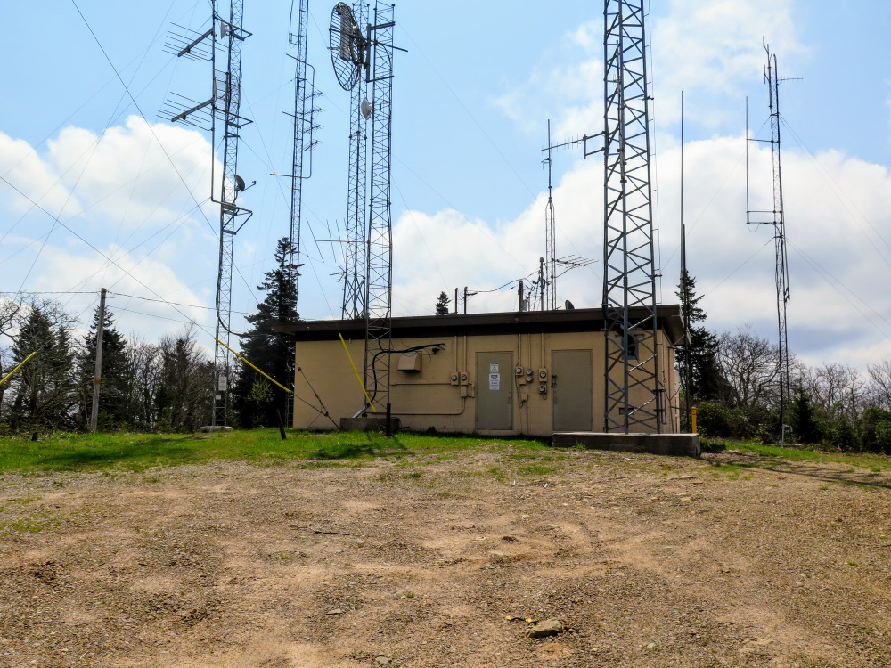
- Mile 5.9 – Turn left onto the blue-blazed connector trail to Wine Spring Bald. This easy side trip is OPTIONAL for peak baggers. There are no views at the summit so most hikers should continue straight on the Appalachian Trail.
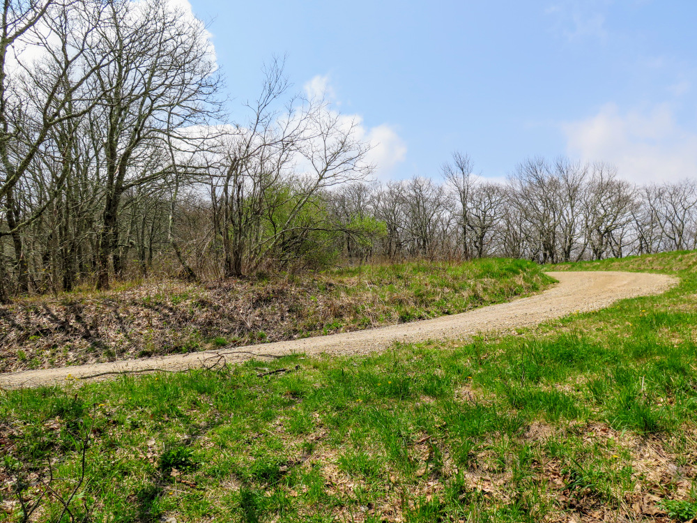
- Mile 6.0 – Turn right onto FR 69B/Wine Spring Bald Rd.
- Mile 6.2 – The road ends at Wine Spring Bald, the tallest peak on Trimont Ridge at 5,451 feet. The former bald is surrounded by communications towers and there are no views. Turn around and walk back to the Appalachian Trail.
- Mile 6.6 – Turn left on the Appalachian Trail.
- Mile 9.1 – Hike ends at the Wayah Crest Picnic Area.
|


![T-junction with the Wilson Lick Trail [369]](images/042917/IMG_4647.jpg)
![T-junction with the Bartram Trail [69]](images/042917/IMG_4654.jpg)